Snowflowxxl
Member
Euro is going to make a jump east this run


And still so weak hmm must be strong shear expectedThat Euro run had the storm over water 4 days, Wow


Thats a ridiculous amount of rain ??Are you sure you want the 16 inches of rain the Canadian is giving Central AL? If it’s right, (Which is doubtful) your going to need a boat if you get that much rain!View attachment 20917
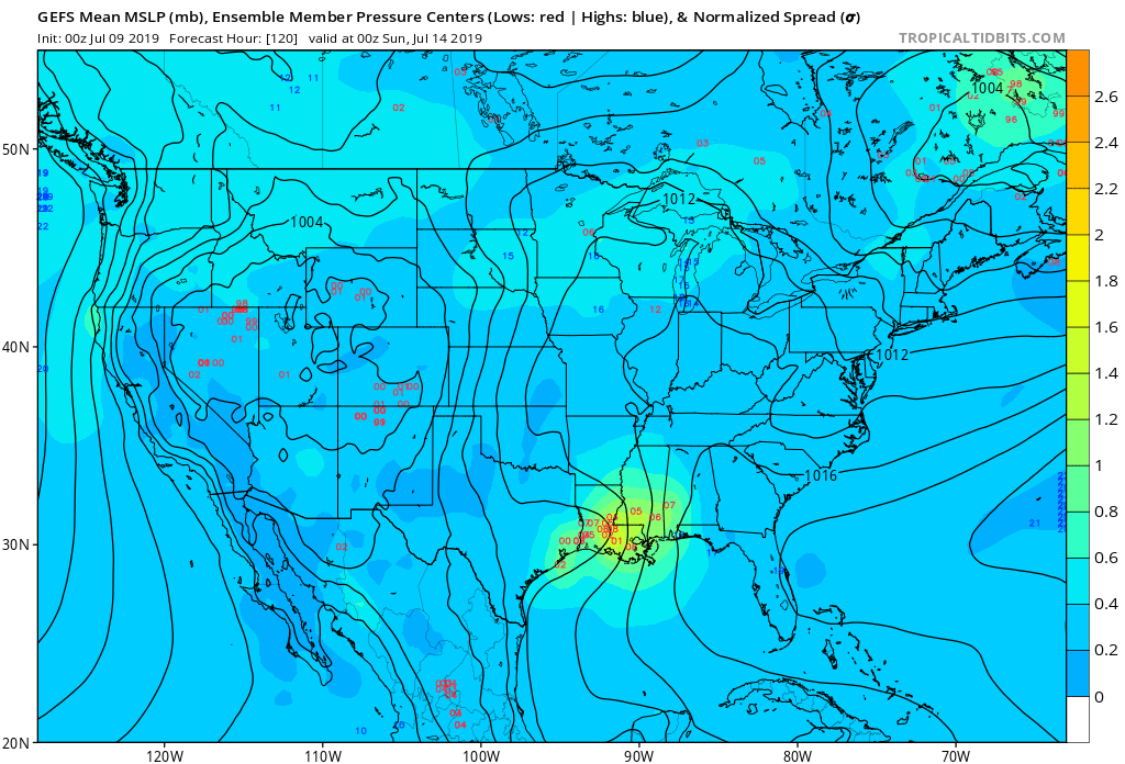
This reminds me of a winter storm the models are west and slowly coming east as we near verification. But as of 6z most models seem to be coming in farther east we will need to see if this keeps going and if so how far east models are willing to take it. This could go from being a Texas and Louisiana system to a Louisiana and Mississippi system.

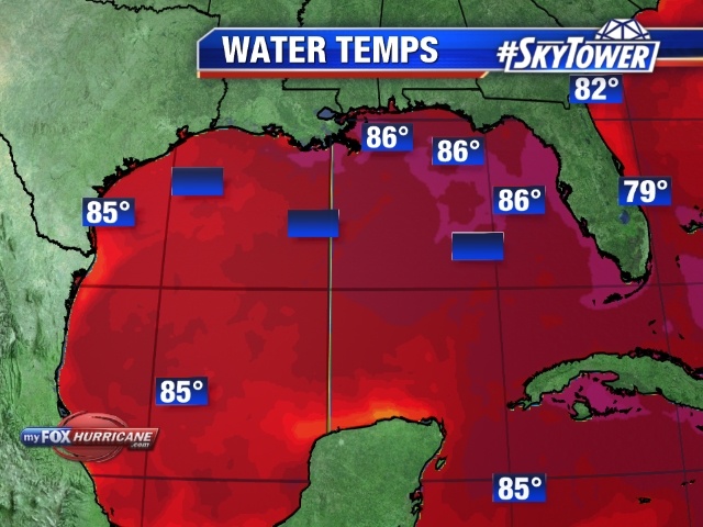
With these water temps and low shear, and 4 to 5 days creeping in gulf can really cause big trouble.


Decent 26C isotherm to work with but proximity to land and shear will be the key factors here as usual. The shallow continental shelf waters just off LA and TX could be an issue if it gets going and is slow moving.
View attachment 20925
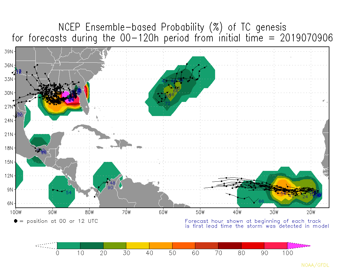
Here's my two cents on this. The GFS (Fv3 version) last year showed a good amount of skill in depicting the intensity of systems, especially in environments where shear was a concern. The fact that this whole time it has had an extremely sloppy, messy system that stays close to land and struggles to develop is very telling IMO. I'm leaning towards the idea of just a broad low pressure that never tightens up and brings a lot of showers and storms to the Gulf Coast vs a further south and tightly wrapped storm that bombs out like the Euro/ICON are showing.

3k nam bombs barry over the gulf of mexico. View attachment 20926
NAM doesn’t usually do a good job in the tropics. It usually overstrengthens tropical cyclones.3k nam bombs barry over the gulf of mexico. View attachment 20926
We'll see what happens. Levi also noted this earlier this AM.
As did I late last night, but newer observations are leaning in the ECMWF's direction
As did I late last night, but newer observations are leaning in the ECMWF's direction


We'll see what happens, I'm not convinced of the Euro/ICON hurricane scenarios. It's certainly plausible if this can get far enough south and under some good UL conditions but I like the idea of a weaker, sloppy system like the GFS is showing. This will be a good test for the upgraded Euro.