pcbjr
Member
I'm going with Phil ... nada FLI’m going with a JMA, Icon, Brazilian, CMC, NAM, and HRRR, RAP blend!
I'm going with Phil ... nada FLI’m going with a JMA, Icon, Brazilian, CMC, NAM, and HRRR, RAP blend!
GFS is back to being the laughing stock of weather models. How much money are they throwing into that thing for it to be such junk. Euro and ICON in the same ballpark atm.

I don’t think we can completely rule it out yet. It may be low on intensity but I’ve seen it do a better job with early season storms and shear for intensity forecasts than the euro at times. It’s tough to go against the Euro, UK combo but the shear the GFS shows, if it verifies, would definitely limit or slow organization.
Yep, never go overboard on intensity on an early gulf storm. If it can form quick enough and if shear is low it could ratchet up intensity wise.
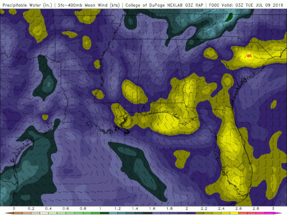
The key here is can it actually form. Like I said days ago, the models are normally way too quick to develop systems in the gulf. This could be a hurricane coming ashore or a broad, multiple center tropical mess that is nothing more than a rain maker.
I do agree here but i also almost expect the GFS to cave sooner or later


On this model, the storm feels zero pull from the frontal passage, then the building high, shunts it west
.gif")


Trust me, you’re gonna love it. We get our best rains from tropical systems wobbling east to west in the middle of the gulf ??Tropical storm roaming around and GSP-RAH, gets a whopping.10-.25 7 day total!?? WTFView attachment 20915
Hi everyone is this thing close to water yet and will nhc declare a PTC this am ?
.gif")
Are you sure you want the 16 inches of rain the Canadian is giving Central AL? If it’s right, (Which is doubtful) your going to need a boat if you get that much rain!

BOAT PART IS TAKEN CARE OF PLUS I LIVE ON THE SECOND HIGHEST POINT IN MY COUNTY IF I FLOOD THE REST OF THE COUNTY IS DEADAre you sure you want the 16 inches of rain the Canadian is giving Central AL? If it’s right, (Which is doubtful) your going to need a boat if you get that much rain!View attachment 20917

.gif")