Mesoscale Discussion 0055
NWS Storm Prediction Center Norman OK
0100 PM CST Thu Jan 12 2023
Areas affected...central AL
Concerning...Tornado Watch
18...
Valid 121900Z - 122000Z
The severe weather threat for Tornado Watch 18 continues.
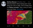
SUMMARY...A strong to intense tornado (~EF3) is likely ongoing
across central AL and after tornado demise, a wind-damage risk will
likely continue into east-central AL.
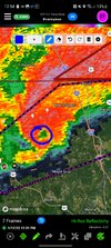
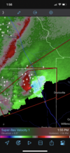
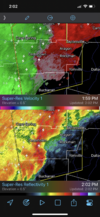
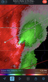
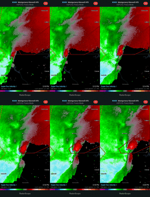
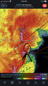
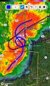
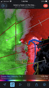
DISCUSSION...KBMX radar imagery shows an intense low-level
mesocyclone moving through an adequately moist/moderately buoyant
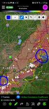
airmass across central AL. SPC data analytics indicates a
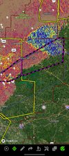
strong/intense tornado is likely ongoing across Autauga County, AL.
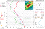
The area VAD/s show large hodographs with 300 m2/s2 0-0.5 km
effective SRH. The strong shear/buoyancy will likely aid in
sustaining the supercell after eventual tornado demise once the
squall line overtakes the supercell. Nonetheless, a significant
wind-damage threat and some tornado risk will likely continue into
eastern AL through the mid afternoon.

