Provided there isn't an excessive amount of cloud cover for the bulk of the day Thursday, DFW should make it through May without a single sub-70°F high.
-
Hello, please take a minute to check out our awesome content, contributed by the wonderful members of our community. We hope you'll add your own thoughts and opinions by making a free account!
You are using an out of date browser. It may not display this or other websites correctly.
You should upgrade or use an alternative browser.
You should upgrade or use an alternative browser.
Pattern May Thread
- Thread starter Detective WX
- Start date
bigstick10
Member
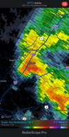
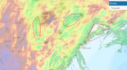
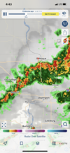
And it goes poof when it hits the Metro core,,,LOL..HRRR has really underestimated the originization of the line of storms currently on the AL/GA border. Not a lot of eastward movement, but it is slowly moving that way.View attachment 118756
NoSnowATL
Member
And it’s gone. Happens every time.
NoSnowATL
Member
I think you’re good. Rain hates North GeorgiaLooks like I won't be working in the garden tonight. Still badly needed though.
NoSnowATL
Member
7 drops might have been too high. High chance tomorrow but I kinda can see panhandle robbery taking place again.Will arrive when the heating of the day has passed our area. Probably get 7 rain drops if we are lucky.
BufordWX
Member
NoSnowATL
Member
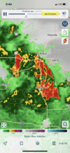
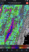
----. Slides in right after I posted that.Dont underestimate the power of the BufordWX rain magnet.View attachment 118763
The drizzle coming down right now almost looks like snow flurries. ?
I'm in your area today, and you're right no rain at all.Will arrive when the heating of the day has passed our area. Probably get 7 rain drops if we are lucky.
BufordWX
Member
Almost an inch of rain here overnight bringing the weeks total close to 2.75”. Might make it to 3 or 4 inches for the week if we’re lucky with todays storms.
That’s awesome. Certainly not here, but i did get over an inch and a half with the low. I just want to know what keeps causing the storms to die right when they get here. It’s happened 7 or 8 times over the past month.Almost an inch of rain here overnight bringing the weeks total close to 2.75”. Might make it to 3 or 4 inches for the week if we’re lucky with todays storms.
bigstick10
Member
Amen bro, I do not know ??? Todays radar is very anemic as well.That’s awesome. Certainly not here, but i did get over an inch and a half with the low. I just want to know what keeps causing the storms to die right when they get here. It’s happened 7 or 8 times over the past month.
bigstick10
Member
One of the oddest dry slots on the current radar coming out of the Gulf, looks like a giant condom headed right for Atlanta, LOL.
bigstick10
Member
That dry slot is here, come on FFC what are you guys doing?????
A whole .3”That dry slot is here, come on FFC what are you guys doing?????
NoSnowATL
Member
22 dropsA whole .3”
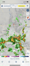
Im in downtown Greenville Lauren’s Rd. area and can confirm it’s now Lauren’s river. Starting to shut down lanes on main roads due to flooding.Hunker down in GSP area! View attachment 118786
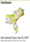
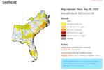
Drought getting obliterated this week. Love it. We’ve had beautiful beach weather as well. ?
bigstick10
Member
Just amazing how this poofed out again...
NoSnowATL
Member
#TheNewNewNormalJust amazing how this poofed out again...
JHS
Member
Looks like Charlotte will get the same as ATL. Little if anything unless the stuff near the gulf comes up. The Carolinas east of a line from near Augusta GA to near Greensboro NC may well stay mostly dry again.
NoSnowATL
Member
I say it 1000 times a year. If you see that juice in the panhandle you know ATL won’t see ----.Looks like Charlotte will get the same as ATL. Little if anything unless the stuff near the gulf comes up. The Carolinas east of a line from near Augusta GA to near Greensboro NC may well stay mostly dry again.
iGRXY
Member
Solid rain here all week and it's really riding from central and western Cherokee county back west
JHS
Member
Yep areas from Gaffney to Pacolet to Laurens and Greenwood and west are really racking up with more to come. The GSP metro getting pounded. Areas just east of the big mass of rain may have a better chance of a severe storm or tornado this evening since a differential heating boundary certainly exists. Some evidence of this already occurring from Gaffney up towards Hickory NC now.Solid rain here all week and it's really riding from central and western Cherokee county back west
JHS
Member
A very nasty batch of storms about to cross the border now headed eventually for Greenwood and Laurens counties.
Overachieving big time today. Currently 88*F at DFW.
BufordWX
Member
iGRXY
Member
Spartanburg, Greenville, Gaffney, down towards western Laurens county, Greenwood, Abbeville, and Anderson counties are getting pounded right now. Areas in Northern and western Spartanburg counties have 4” of rain so far with even more training
Someone back home said the power is going in and out from all of the rain
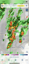
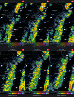
Y’all are a little moist down thereGarden is going to be looking good when I get home? View attachment 118795

Yesterday was almost a dud but ended up with 2.09" for the week. Not bad and with the cloudy conditions it really had a chance to soak in.
Y’all are a little moist down there
That's what the Gold Bond is for.
BufordWX
Member
Ended up the week with 4.25” which was greatly boosted by that lucky training band yesterday evening. Even ended up with more rain yesterday than on Monday with 2” yesterday compared to 1,75” on Monday.

