000
WTNT44 KNHC 100252
TCDAT4
Hurricane Michael Discussion Number 14
NWS National Hurricane Center Miami FL AL142018
1000 PM CDT Tue Oct 09 2018
Data from Air Force Reserve and NOAA Hurricane Hunter aircraft this
afternoon and evening indicate that Michael has been undergoing a
rapid deepening phase with the pressure having dropped to 947 mb, a
decrease of 20 mb between 1800Z and 0200Z with most of those
pressures falls occurring during the past few hours. Michael's eye
has become more distinct in GOES-16 high-resolution infrared
satellite imagery, with a solid ring of cloud top temperatures
colder than -75 deg C surrounding the warming eye.
Some cloud tops
in the eyewall have been as cold as -88C, which is very impressive
for a Gulf system. The peak 8000-ft flight-level winds measured by
the NOAA aircraft thus far has been 130 kt and the strongest SFMR
surface wind speed observed has been 110 kt in the same location as
the peak flight-level winds. Based on these wind data, along with a
central pressure of 947 mb, Michael's intensity has been increased
to 110 kt. Satellite intensity estimates from TAFB and SAB, along
with objective estimates from UW-CIMSS ADT and NHC, support an
intensity of 115-127 kt. However, those also estimates also would
support a central pressure of about 935 mb, which the aircraft has
not measured thus far.
The initial motion estimate is due north, or 360/10 kt.
Michael is
essentially on the previous advisory track, and there is no
significant change to the previous track forecast discussion. The
models have settled in a stable forecast pattern, which calls for
Michael to remain embedded within deep southerly flow for the next
24 hours between a substantial ridge to the east and a highly
amplified mid-latitude trough moving eastward across the western and
central U.S. and northern Mexico. As a result, the dangerous
hurricane is expected to move northward to north-northeastward and
make landfall along the coast of the central panhandle of Florida by
late Wednesday afternoon. After landfall, increasing southwesterly
flow ahead of the approaching deep-layer trough is expected to
accelerate Michael toward the northeast through 48 h, with the
cyclone moving across the southeastern U.S. late Wednesday and
Thursday, and emerging over the western Atlantic by early Friday. A
continued northeastward motion at forward speeds of 30-40 kt is
forecast at 72-120 h when Michael is expected to be an extratropical
cyclone.
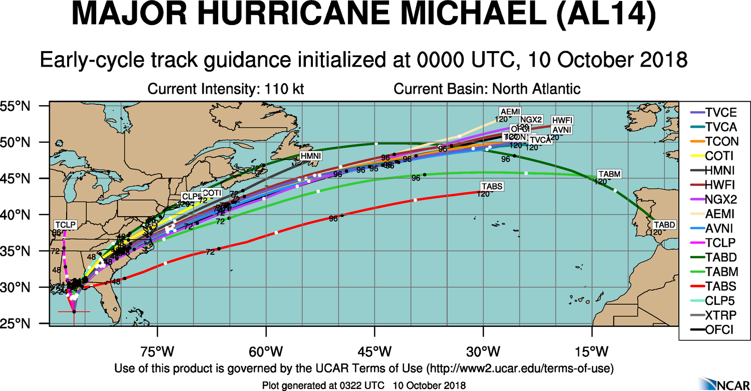
The new NHC forecast track is essentially just an update of
the previous advisory track, and lies close to the tightly packed
consensus models TVCN, TVCX, TCON, and NOAA-HCCA.
Similar to the previous advisory, the environment ahead of Michael
is expected to remain conducive for additional strengthening until
landfall occurs due to SSTs of at least 85 deg F beneath the
hurricane, combined with decreasing vertical wind shear along with
the shear vector shifting from current west-northwesterly to a less
hostile southwesterly component, which will be more along Michael's
forecast track. As a result, Michael is now explicitly forecast to
become a category 4 hurricane before landfall occurs. After
landfall, significant weakening is expected while Michael moves over
the southeastern United States, but the cyclone is forecast to
re-strengthen over the western Atlantic due to baroclinic forcing
after it merges with a front and becomes extratropical on Friday.
The new intensity forecast closely follows a blend of the IVCN,
HCCA, and FSSE consensus models throughout the 120-h period.
Tropical storm conditions are expected to reach the hurricane
warning area by Wednesday morning, so all preparations should be
rushed to completion.
https://www.nhc.noaa.gov/text/refresh/MIATCDAT4+shtml/DDHHMM.shtml