ForsythSnow
Moderator
Since I didn't see anyone mention it, and since I just noticed, there is an upper level dropsonde flight in progress. This should fine tune the data and get the models in better agreement and might change the model paths.

The 2 pm track never changes. Only the 5 and the 11 am/pm does.
They will shift a little west at 5pm. They are on the eastern side of consensus.

Full 00z suite tonight should have all the data incorporated so hopefully this helps out with determining the speed/track differences that are still there. Landfall near Panama City looks about locked in though.Since I didn't see anyone mention it, and since I just noticed, there is an upper level dropsonde flight in progress. This should fine tune the data and get the models in better agreement and might change the model paths.
one thing we know for sure....path has changed every 24 hours, so I have high expectations that it will change again.Full 00z suite tonight should have all the data incorporated so hopefully this helps out with determining the speed/track differences that are still there. Landfall near Panama City looks about locked in though.
")
Bingo ...one thing we know for sure....path has changed every 24 hours, so I have high expectations that it will change again.
.jpg")

If relative size as projected there at the end of this run was anything ... remember Charlie?
Probably still as a tropical storm, too.


Oblviously ... LOLThe 5pm advisory track looks a little west
Sent from my iPhone using Tapatalk
And a little slower too.Looks a little west
Just not yet sold on the timing of the NE bend ... still thinking the mouth of the Suwannee is a spot to watch ...GFS has it in the Florida Panhandle as a Category 2 hurricane at 54 hours.
Edit: Now has it in Southern Georgia as a weak hurricane at 60 hours.
 Winning!
Gfs is westExcatly the same track! a tip east.
 CLT —- Attn B Rad P, paging B Rad!!!!!!
Is he still calling for sprinkles with an occasional breeze?View attachment 6801 CLT —- Attn B Rad P, paging B Rad!!!!!!


Lol! Basically, yes! He posted this a day or two ago on FB!Is he still calling for sprinkles with an occasional breeze?
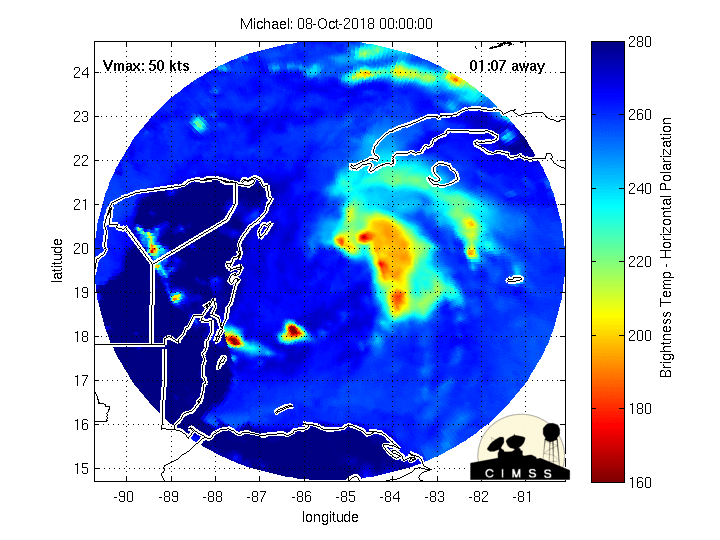
This looks very different than the past coupleof of days. Maybe shear can help if it hangs around for a couple of days.
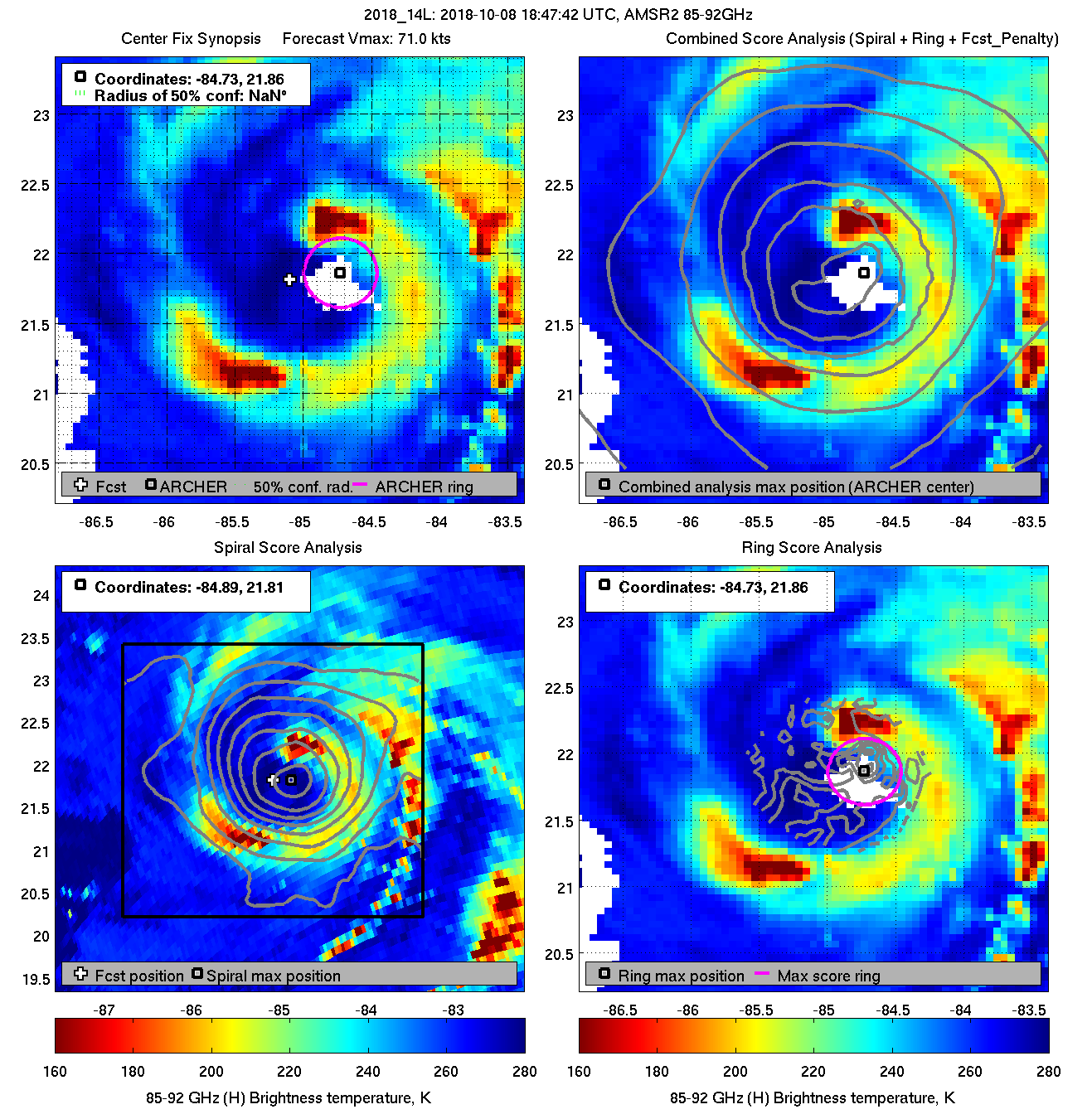
View attachment 6795