• Hello, please take a minute to check out our awesome content, contributed by the wonderful members of our community. We hope you'll add your own thoughts and opinions by making a free account!

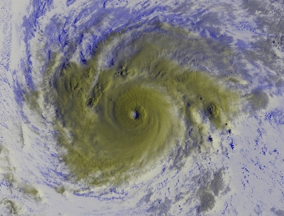
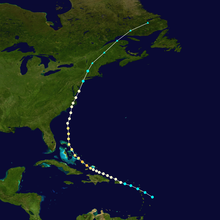
Tropical Major Hurricane Irma (Part 1)

Status
Not open for further replies.
Ryan Maue has started real time EPS spaghetti modeling for subscribers.

 
Not sure you could thread the needle any better than what the Euro shows.
 
Based on the 12Z EPS mean hours 228+, I'm afraid it is going to show a number of hits on FL, further up the SE US coast, and in the E GOM for a week from SAT night through a week from Tue.

In deference to the Euro, I'm raising the CONUS hit % chance in my mind from 15% to 25%.

***Edit: a week from Sat night through Tue.
 
EPS certainly has some ots solutions but most are a legitimate US threat but overall little more north than the Op run
 
98d196f084fe05a770ba953e2a7f932eef9bc92542ccc7a18d0865c4193351ca.png


get
 
Yeah with the massive trough taking a huge bite out of the ridge a gulf track seems unlikely.


Sent from my iPhone using Tapatalk
 
That eps run was a NE shift . Remember the gefs favors OTS at the moment . So out to sea or staying just offshore has just as much a chance as a hit at the moment

Sent from my SM-J320VPP using Tapatalk
 
Yeah with the massive trough taking a huge bite out of the ridge a gulf track seems unlikely.


Sent from my iPhone using Tapatalk
No track is likely or unlikely at this point . We dont even know how strong the trough will be , the ridge placement in the Atlantic ( see the gfs and euro , worlds apart)

Gonna be days before we can rule out track directions

Sent from my SM-J320VPP using Tapatalk
 
Status
Not open for further replies.
Back
Top