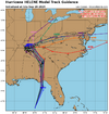
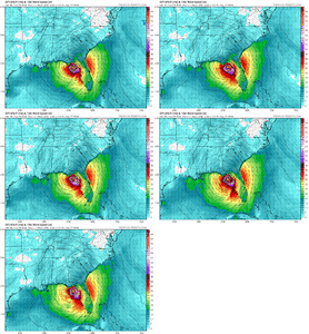
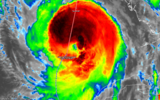
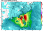
FFC is buying into the PRE for tomorrow. Link to the full disco at bottom:
The biggest thing to note compared to the
previous forecast is increasing confidence on heavy
rainfall leading
to
flash flooding across much of North GA including the ATL
metro
tomorrow (Wednesday) afternoon. Tropical
moisture will be on the
increase and will set up ahead of the frontal boundary moving in
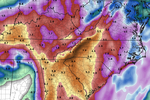
from the northwest. Thus, PWs will be upwards of 2+ inches per
latest guidances. An upgrade (from WPC) will be forthcoming for
northeast GA down south including
Metro ATL for a Moderate Risk (3
out of 4) of Excessive
Rainfall -- i.e. the greatest risk for
rainfall intense enough to cause
flash flooding. Latest forecast
totals (for Wednesday only) ranges from 2 to 3 inches with locally
higher amounts. Heavy
rainfall and
flash flooding potential will be
the main concern for tomorrow (Wednesday) --
note: this is ahead of
anything tropical related. As a result of increasing confidence in
hydro related issues, we have opted to issue a
Flood Watch for much
of North and Central GA. This will encompass the threat for
Wednesday and then the evolving threat for the Thursday-Friday
timeframe in association with
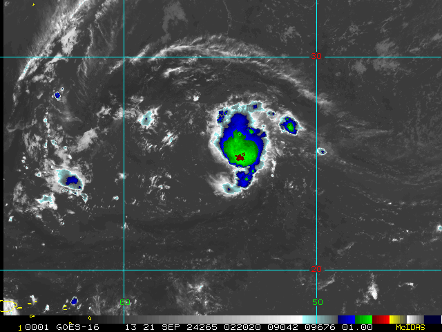
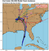
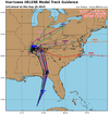
Tropical Storm Helene. For details
about
Tropical Storm Helene please see the long term discussion
below.
FFC Afternoon Disco