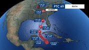
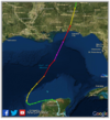
Didn't that last one swing all the way back to Arkansas before dissipating?That does seem a bit odd looking. I’m not sure I’ve ever seen a gulf storm turn back to the west that sharply once inland.
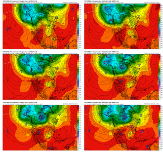
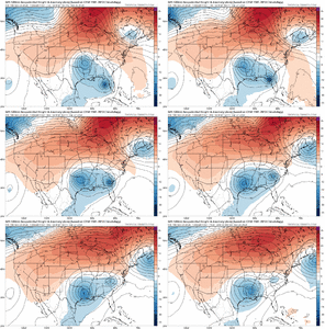
Yes. This is the pattern that is bad.for the east coast when the ULL is over Georgia and the cane off the east coast. It pulls it into the coast. In this case the pattern is setup.perfect fo that scenario just further west.IF that upper low is in the right spot it would turn NW View attachment 151467
Yes. This is the pattern that is bad.for the east coast when the ULL is over Georgia and the cane off the east coast. It pulls it into the coast. In this case the pattern is setup.perfect fo that scenario just further west.
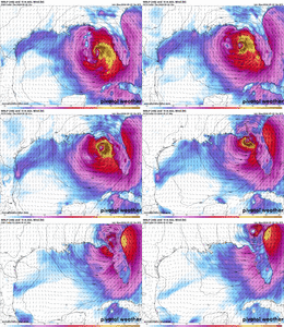
Big difference with that one was it coming in further west and it moved NW toward Arkansas which isn’t unheard of. I was referring more to how the models are showing that almost due west movement once the center is over the Tennessee Valley. I’m not sure I’ve ever seen thatDidn't that last one swing all the way back to Arkansas before dissipating?
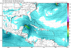
0z runs have commenced and the ICON leads us off and is heading to… Tampa? Lmao
View attachment 151470
You’re absolutely right. ULL is a full state further eastThe upper low is well to the east of prior runs. Landfall 975 mb just N of Tampa Thu afternoon!
Still spitting out some insane numbers
View attachment 151472