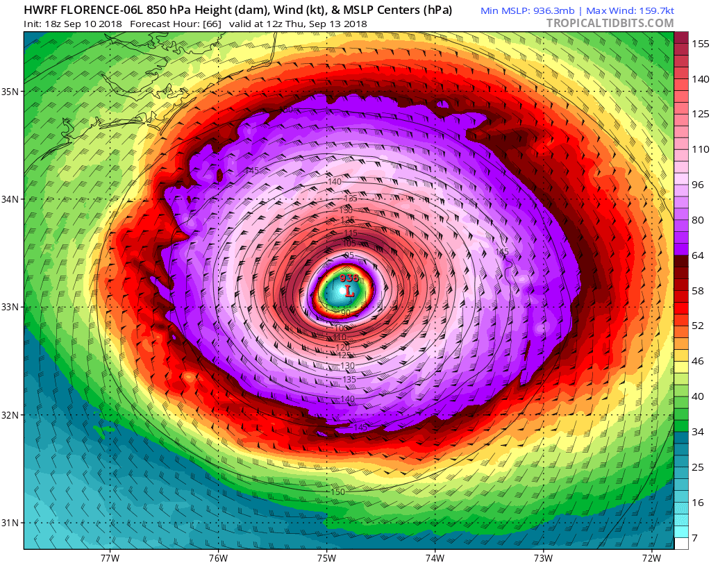
In sure if there was a 60mph ts there we would get our share of 74mph plus gustsI don't get the back and forth with it having tropical storm force winds or hurricane force winds farther inland. The last update had hurricane force winds inland, and now it is back to tropical storm force. Everything I have seen today has said Flo is getting stronger, and could be a cat 4 or 5 at landfall. That to me says the hurricane force winds should be farther inland once it comes in. Very confusing.
Sent from my SM-G955U using Tapatalk