SC_Wildcat
Member
I'm 50 miles inland of Myrtle Beach and I know its gonna be rough, I'm just hoping we dont wind up on the east side of the storm.
Florence going for Florence, SC would be so fitting

IMO, Too much server traffic.What is up with the 12z CMC not running yet.
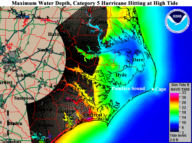
Any possibility of a Cat 5? I hope not but this is strengthening fast.
I think it will become a Category 5 but it will have a EWRC and just weaken back into a Cat 4.Any possibility of a Cat 5? I hope not but this is strengthening fast.
IF the GFS track were to be correct ( which we all assume it’s not ) it’s not gonna maintain that strength sitting there for 24 hours before making landfall . Why the model doesn’t account for upwelling is beyond me .
Sent from my iPhone using Tapatalk

Agreed. I'd be more inclined to believe other models are eroding the western part of the ridge too muchDoubt the euro is overamping the ridge...
Doubt the euro is overamping the ridge...
Ehh that’s not true at all, the euro does better than most guidance in cases like this, Irma is a classic example.Euro has a known bias to do that at times and I expect the 12z Euro will adjust north a touch probably back to the ILM landfall idea. ILM to MHX seems to be the area of greatest risk if you blend and account for the biases.
Ehh that’s not true at all, the euro does better than most guidance in cases like this, Irma is a classic example.
Euro has had a SW bias in the short term as evidenced here. Whether that plays into things going forward remains to be seen but it's worth nothing. For those who want to look at the model bias I would encourage you to check out this link, some great info on there and you can see what models are doing best with verification scores, bias, etc. http://www.atmos.albany.edu/facstaff/tang/tcguidance/al062018/Ehh that’s not true at all, the euro does better than most guidance in cases like this, Irma is a classic example.

So far, we have the ICON, the UK, the GFS, and the CMC locked in on OTS or barely into eastern NC. As much as I’d like to give the nod to the Euro, that’s a lot of globals against. Wonder if it’ll hold its course? I would have expected to see one of those others cave by now. We’re not that far away.

The synoptic pattern going forward is much different than what we’ve seen so far and many of those short term forecast issues occurred without the inclusion of HH data to initialize the model. There’s no systematic SW bias in the euro as you tried to assert earlier, there is in the UKMET but it’s been all over the placeEuro has had a SW bias in the short term as evidenced here. Whether that plays into things going forward remains to be seen but it's worth nothing. For those who want to look at the model bias I would encourage you to check out this link, some great info on there and you can see what models are doing best with verification scores, bias, etc. http://www.atmos.albany.edu/facstaff/tang/tcguidance/al062018/
No... it is not coupled to the ocean therefore it does not take into account upwelling of coolers waters. It's a serious flaw with the GFSThe GFS stall takes place on the Gulf Stream. Maybe why it bombs out.
So far, we have the ICON, the UK, the GFS, and the CMC locked in on OTS or barely into eastern NC. As much as I’d like to give the nod to the Euro, that’s a lot of globals against. Wonder if it’ll hold its course? I would have expected to see one of those others cave by now. We’re not that far away.

.png")