Brent
Member
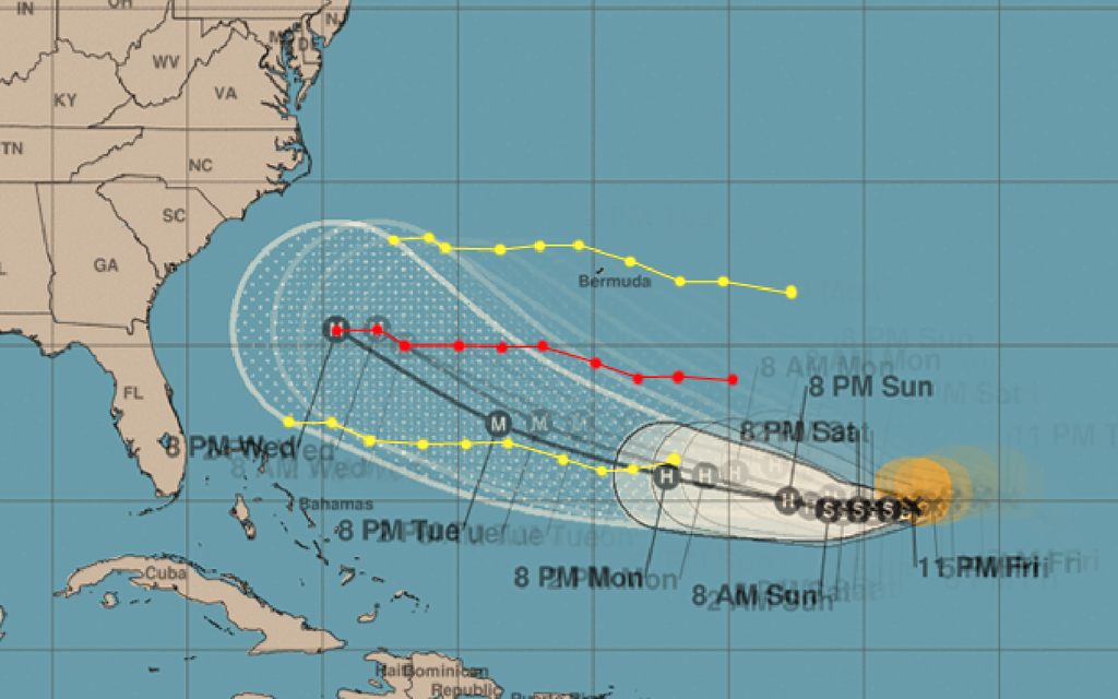
you can just tell the NHC is really concerned by the potential here... I mean the east coast isn't even in the cone yet...
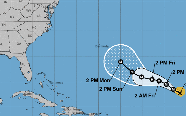
the HWRF may be overdone but there is a lot of support for a high end hurricane here
the HWRF may be overdone but there is a lot of support for a high end hurricane here