snowlover91
Member
At hour 120 this is racing for the SE coast. Based on the ridge strength and orientation, I would guess this will landfall close to the NC/SC border.


At hour 120 this is racing for the SE coast. Based on the ridge strength and orientation, I would guess this will landfall close to the NC/SC border.


I think NC actually is a bigger concern, because I think the Euro/UKMET is underplaying the time it will take for restrengthening to begin, which will likely bring it back north a little. Not sure how much longer we will continue to see a south trend, because as it strengthens I think guidance will begin to sniff that out and start adjusting back northward again.
At the same time it may take Florence some time to recover and it may also slow down some and allow the ridge to further build south ahead of its path. We will have a clear picture by Monday I believe as to where it's headed.I think NC actually is a bigger concern, because I think the Euro/UKMET is underplaying the time it will take for restrengthening to begin, which will likely bring it back north a little. Not sure how much longer we will continue to see a south trend, because as it strengthens I think guidance will begin to sniff that out and start adjusting back northward again.
At the same time it may take Florence some time to recover and it may also slow down some and allow the ridge to further build south ahead of its path. We will have a clear picture by Monday I believe as to where it's headed.
A track into northern SC would actually be worse for many areas of NC vs a direct NC hit . It would also cover a much bigger area in Nc
Sent from my iPhone using Tapatalk
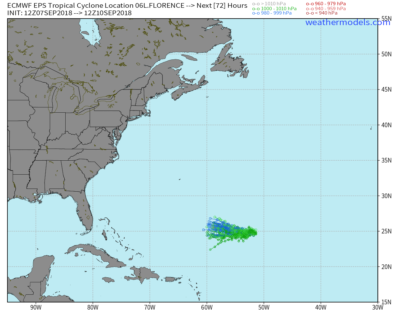
Only thing though is we have no idea the exact pressure of Florence. The winds are estimated and still well above the estimated strength per the Dvorak estimates of a weak TS. The estimated pressure is 1001 mb per that method, but NHC's advisory is much stronger and has a deeper pressure. The GFS is too strong at initialization and the Euro is too weak per that, but the FV3 is just around that. However, we have no idea how the ridge or the environment will play out so it's best to wait until the flights tomorrow and the model adjustments following to see what's going on.As PackFan mentioned a few minutes ago, the Euro initialized a little weaker than Florence actually is right now. Taking that into account I would expect landfall a little further north up the coast
A track into northern SC would actually be worse for many areas of NC vs a direct NC hit . It would also cover a much bigger area in Nc
Sent from my iPhone using Tapatalk
Yep, and the tornado threat would be higher as well...
I think NC actually is a bigger concern, because I think the Euro/UKMET is underplaying the time it will take for restrengthening to begin, which will likely bring it back north a little. Not sure how much longer we will continue to see a south trend, because as it strengthens I think guidance will begin to sniff that out and start adjusting back northward again.

Really as Larry (GAWx) mentioned earlier, there is no real comparison this storm has to others due to its course and position. The landfall angle on those two storms is much greater and the turn occurs sooner than it will here, which appears to be at or just before landfall or even not at all.Looks right now like a cross between Fran and Isabel track wise. Neither was good......
When has it not? It's got some weird algorithm that always produces too perfectly symmetrical storms with massive unrealistic eyes for the ocean it's in. Stronger storms = smaller eyes as do strengthening ones.HWRF is depicting a massive eye.
.png")
.png")
.png")
Not calling for it, but don't forget Dora, that decided to never curve ... just seems we're still too far out to be pinpointing or declaring a bullseye ...Really as Larry (GAWx) mentioned earlier, there is no real comparison this storm has to others due to its course and position. The landfall angle on those two storms is much greater and the turn occurs sooner than it will here, which appears to be at or just before landfall or even not at all.
Unfortunately...The Euro stalls the storm in W NC then goes SW into SC.
When has it not? It's got some weird algorithm that always produces too perfectly symmetrical storms with massive unrealistic eyes for the ocean it's in. Stronger storms = smaller eyes as do strengthening ones.
How would this track affect us?The Euro stalls the storm in W NC then goes SW into SC.
Maybe some rain here with the remnant low pulling moisture northward as it moved towards SC. Other than that nothing. If it came in at a lower angle and remained at the initial angle there would be much more to worry about.How would this track affect us?