ForsythSnow
Moderator
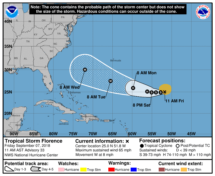
Florence is looking better this morning than last night. Looks like it's getting out of the shear later today and per estimates it's no longer weakening. The speed at which it strengthens and gets back to a major hurricane will be crucial to the path as well as the path itself and the ridge strength. Estimates put it at a pathetic 37 knots or a weak TS but the NHC is going for higher values with their recent advisory of 55 knots. I don't like the looks of the models from last night at all and we will have to see what later runs bring.