Downeastnc
Member
Will be interesting to see what she does with a new eye...if she bombs back out does she move more west again etc...if she makes it to 73/74 west things could get rough on the OBX.
That would put the OBX in the tropical wind field for certain. A little nudge further west and it would be experiencing hurricane winds gusts. Erin is going to be a big storm as far as size.Will be interesting to see what she does with a new eye...if she bombs back out does she move more west again etc...if she makes it to 73/74 west things could get rough on the OBX.
The first pic is Euro and the second is GFS. Last is Icon since it's the closest to land and still forecasting 915 pressure for the 4th day.Is the GFS an euro really that far apart
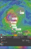
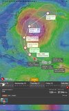
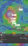
The Windy app you are using is very interesting. You may have found them another subscriber after I checked out the features online.Just found out what this windy app can do. See NHC cone. See the Euro position in comparison to the cone, then see the Icon same.
I won't be surprised to see that cone continuing to move west.
View attachment 174348
View attachment 174349
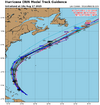
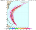
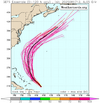
I don't think there is even a remote chance of a direct hit. Depending how close it gets, the flooding could be huge. I.e. Matthew 2016 and it was cat1. Very possible they will move it closer to shore. At least that's what they said in the last discussion.Yeah the NHC is gonna move the track inland with these models that have not changed. Like they aren't even that close. They aren't stupid and they have a very stellar forecasting history 99 percent of the time. They also have models we don't see
I have been telling people for days that there has never been one rogue model even show a landfallView attachment 174359
View attachment 174360
View attachment 174361
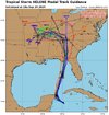
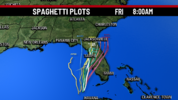
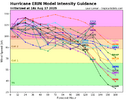
Unlikely that it will miss the escape route. But coast of NC could feel tropical storm effects or even hurricane winds from the outer bands.Somewhat new to tracking the tropics. Does this temporary weakening of Erin make the turn less likely/slower? I know the stronger storms want to gain latitude. Just wondering if this weakening makes in harder for it to turn the corner and shoot the gap in the ridge. Thanks
Damn....someone has some sense.....thank goodness
More like you can stand on the beach and see the sound out there. Just not a lot of land and there is always bad overwash that destroys the roads in and out.Damn....someone has some sense.....thank goodness
Gonna be a huge eye from here on outView attachment 174377
^Followup to text: Here’s the 0Z UKMET 84 hour map at closest approach to NC:
View attachment 174380
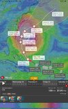
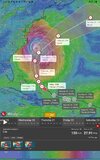
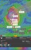
905 mb on the Euro!!!That would be stronger than Saturday mornings peak was
Recon already reporting mid 930sView attachment 174386
Yeah, it caught up with Icon. The other major difference is the Icon doesn't have as sharp a turn, so it's a bit closer to land.905 mb on the Euro!!!That would be stronger than Saturday mornings peak was
Recon already reporting mid 930sView attachment 174386
