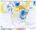
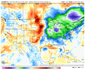
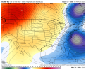
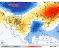
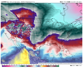
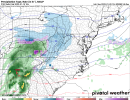
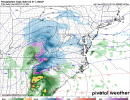
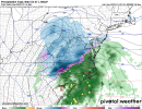
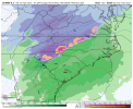
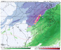
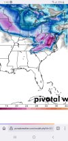
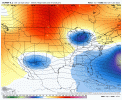
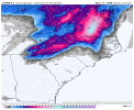
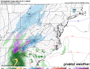
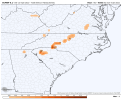
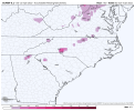
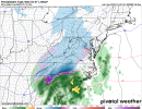
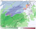
So much energy diving in from northern stream seems to be doing it, this will definitely throw off the models accuracyNo bad 48 hr trends to me, only thing I notice is it seems as if wavelengths in this pattern are wanting to shorten as we get closer, which is typicalView attachment 102921View attachment 102922View attachment 102923
-
Hello, please take a minute to check out our awesome content, contributed by the wonderful members of our community. We hope you'll add your own thoughts and opinions by making a free account!
You are using an out of date browser. It may not display this or other websites correctly.
You should upgrade or use an alternative browser.
You should upgrade or use an alternative browser.
Pattern Januworry
- Thread starter SD
- Start date
LickWx
Member
High of 62 so far today . 73/54 in Wilmington . Mmmm. They are always so dang warm
NBAcentel
Member
Just a wee little adjustment there getting close to short range.Yep sheesh View attachment 102928
NBAcentel
Member
It’s nice to see the GEFS starting to consistently show 1-2 inch snow means in NC other then a few bad runs here and there
Flotown
Member
Can you show map pleaseIt’s nice to see the GEFS starting to consistently show 1-2 inch snow means in NC other then a few bad runs here and there
NBAcentel
Member
NBAcentel
Member
Flotown
Member
NBAcentel
Member
Euro might be good here
Get to the Euro, Big change with the Lakes low
NBAcentel
Member
Watch that low transfer I bet cold air filters back in quickly if it can transfer under us and onto the coastCold air starts retreating, still looks good for NC/VA Cad areas
View attachment 102938
NBAcentel
Member
Although my backyard didn’t get plastered .. nothing excites me more than the 12z EURO !
Watch that low transfer I bet cold air filters back in quickly if it can transfer under us and onto the coast
Especially the CAD areas
This may have a deformation band here.
Clem282340
Member
Do you have the frame before this one
D
Deleted member 609
Guest
- Joined
- Jan 23, 2021
- Messages
- 4,603
- Reaction score
- 15,199
- Location
- Lebanon Township, Durham County NC
That is a classic Carolina winter event if I’ve ever seen one. CAD, snow to sleet/freezing rain back to snow
NBAcentel
Member
Another system incoming on the Euro a couple days later
packfan98
Moderator
Can you post the sleet and freezing rain maps? Thanks!This is a clear 3 run trend, that’s why I said earlier don’t sleep on the day 7-10 timeframe, started noticing this on lasts nights 00z EPS, when some members started getting excited with this system View attachment 102945View attachment 102946
You called it.This is a clear 3 run trend, that’s why I said earlier don’t sleep on the day 7-10 timeframe, started noticing this on lasts nights 00z EPS, when some members started getting excited with this system View attachment 102945View attachment 102946
NBAcentel
Member
NBAcentel
Member
Flotown
Member
Second one could definitely trend better for us out west
I love where the qpf on the second system.
Yeah this is certainly beginning to get interesting. If that trend continues, more of NC, SC and northern GA would be in the gameThis is a clear 3 run trend, that’s why I said earlier don’t sleep on the day 7-10 timeframe, started noticing this on lasts nights 00z EPS, when some members started getting excited with this system View attachment 102945View attachment 102946
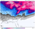
The rich get richer ( me and fro the rich)Absolutely weenied out run View attachment 102951

D
Deleted member 609
Guest
We need like 20 miles lolYeah this is certainly beginning to get interesting. If that trend continues, more of NC, SC and northern GA would be in the game
Cary_Snow95
Member
Apex gets a nice cold rain for the first system on the euroThe rich get richer ( me and fro the rich) View attachment 102953

