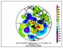
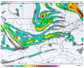
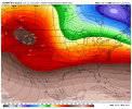
waiting for SD to say "boom goes the dynamite" 1029 ejected by the block from Greenland?
-
Hello, please take a minute to check out our awesome content, contributed by the wonderful members of our community. We hope you'll add your own thoughts and opinions by making a free account!
You are using an out of date browser. It may not display this or other websites correctly.
You should upgrade or use an alternative browser.
You should upgrade or use an alternative browser.
Pattern Januworry
- Thread starter SD
- Start date
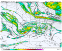
Yep, energy over lakes prevents high pressure from gaining strength and cold delivery via cad, since higher heights up there rise sfc pressure, we either need that to back off or we need some strong but quick moving N/S diving into PA/VA then the S/S system moves inGoing to get something here pattern over the lakes and NE should keep it from cutting big time but might ruin good cold deliveryView attachment 102501
Change the timing of the pieces on the euro and it can work. As modeled it's probably not going to
Squished sammich
All models have a workable look inside of day 10, we going somewhereSquished sammich
Perfect. We’re alive heading into the weekend.Squished sammich
I'd rather be squishing at d7-10 than already amplified. Ways to score here but ways to send it west of the appsAll models have a workable look inside of day 10, we going somewhere
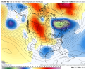
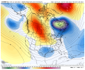
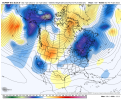
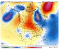
Yeah, all we really need is for those higher heights just east of Greenland to move south a tad and all of a sudden you have the same set up of the biggest snowstorm CLT metro has had in the last 100 years, but about 5 weeks earlier on the calendarThis is what I mean, shift that SE can vortex south more and it gets more interesting View attachment 102504View attachment 102505
Idk, I’m really a fan of the trend here, we finally managed to get the TPV phased with some energy/lower heights in the Atlantic and have a nice -NAO block now, low heights in the 50/50 region, and a southern stream that seems favored to stay further south, this pattern looks good and looks prone to Miller Bs especiallyI'd rather be squishing at d7-10 than already amplified. Ways to score here but ways to send it west of the apps
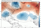
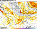
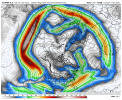
Implications of this?Euro really extended the pac jet again the end of the run and had a monster Aleutian low View attachment 102509
My guess is pacific ridge printer go brrrImplications of this?
Delayed retraction of the pacific jet so slowed down retrogression processImplications of this?
Need a cleaning cloth for your computer screen?

