smast16
Member
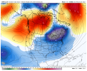
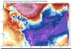
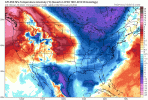
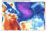
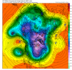
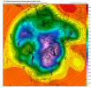
On the bright side, at least Seattle is warm when i'm warm too.Full hemispheric blocking. Excellent
#suckitSeattle.
On the bright side, at least Seattle is warm when i'm warm too.Full hemispheric blocking. Excellent
Not sure why we care what they think . He's clientele is the Midwest and Ohio valley . Seasonal temps for them can translate to below normal temps in the SE
Sent from my iPhone using Tapatalk
Always N.GA! Sigh...???
I can easily chase in North Ga, though. I just need more than a few hours of non accumulating snow to interest me for a chase.Always N.GA! Sigh...???
Bam is probably right. But there has never been any signal at all for sustained cold in the east so nothing has changed. A one to two week pattern is all most are hoping for. Right now the pattern doesn't look great moving forward like it did a couple days ago. There is no signal at all for a decent storm for the snow starved regions of the SE. I hope we pull something out somehow in January. But another year of just novelty events like the one in Raleigh today could very well happen. And GSP getting blanked completely for only the 2nd year ever wouldn't shock me at all either. Yes there is more emotion in that statement than actual evidence but when you're in these streaks they're ridiculously hard to break for whatever reason. Hopefully our luck changes soon.
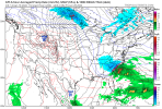
There’s a thread for this threat.Euro coming in way south of its 0Z run.
It's certainly better than December by far. It depends on perspective. For you average temps would be a B or maybe even an A-. The ones wanting accumulating snow from ATL up to RDU I'd give it a C-. It's not a shutout pattern like December and something could pop off anytime. But considering how our lucks been since 2018 it's probably wise not to get too excited lolI agree with much of what you said but I don’t know about this:
“Right now the pattern doesn't look great moving forward like it did a couple days ago.”
I’m not saying it necessarily looks “great” now but i don’t think it looked “great” a few days ago either. I think it still looks pretty similar to how it looked a few days ago in the SE (we’re not in the Midwest)….not “great” but pretty darn good for a pattern leaning BN temperaturewise in the SE and like night and day vs last month.
In summary, the SE was never forecasted to have an “A” pattern, but more like a “B” and that “B” still appears likely. It is hard to object to a “B” after having F minus minus December through yesterday. A “B” in the coldest month of the year would be more than fine with me. And for those of you in areas (unlike here) that get wintry precip from time to time in normal winters (the vast majority of the board), it looks promising for more opportunities. I just want it to be cool to cold dominated, which is winter enough for me.
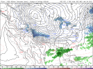
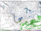
Yeah looks good to me. I really really really hope we retrograde from here and not lose the pac/west to troughingThey got the sliding board out on the Euro D10. Not a snowstorm pattern, if you're keeping score at home. Not too warm, though.
View attachment 101636
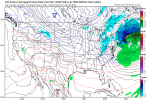
They got the sliding board out on the Euro D10. Not a snowstorm pattern, if you're keeping score at home. Not too warm, though.
View attachment 101636
Exactly. As long as that big low is stuck over the Aleutians we can flip back into a snow storm favored pattern pretty quickly.Yeah looks good to me. I really really really hope we retrograde from here and not lose the pac/west to troughing
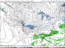
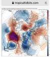
A -NAO or a taller western ridge.What would push these storm South, Like this weekends system? I mean I don't see anything that would cause it to move further South to affect anyone outside of TN
Sent from my SM-A526U using Tapatalk
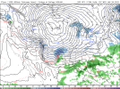
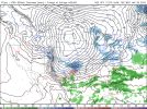
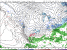
Just need something to line up and we won’t see that until this period gets into medium range .. hopefully fun times aheadCan't ask for more than thisView attachment 101644