• Hello, please take a minute to check out our awesome content, contributed by the wonderful members of our community. We hope you'll add your own thoughts and opinions by making a free account!

Wintry January 21-23 2025

Damn.

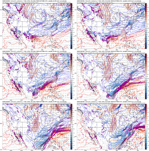
This is going to be an epic fail for one of these models and an epic coup for the other.

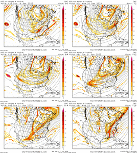
But I suppose since they aren’t too terribly off at H5 theoretically it could go either way.

Crazy how small of a difference can cause such an outrageously different solution.
The GFS is very slowly improving. They may end up with a moderate storm.
 
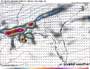
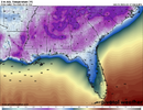
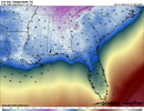
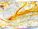
View attachment 164417So the first thing strictly from the surface is the Canadian isn't unlike other models with pressure placement. The Low crosses central florida like every other model we've seen but the precip shield is much more robust.
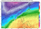
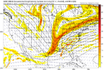
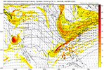
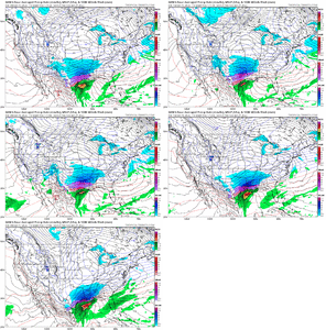
The GFS is about a notch or 2 away from the CMC at H5 too.
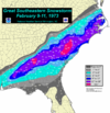
This is literally a blend of Feb 12th, 2010 and Feb 9th-10th, 1973.
 
it’s crazy how it did that without the cutoff interaction. Wow. That’s the craziest vort gif I’ve ever seen
I'm kind of with what some others have said that the little cutoff is pretty much a moot point here. Just a very small piece that's floating around there....I mean maybe if it got sucked in out ahead of the larger diving western wave it could help....but think it's mostly just a small bobber floating in the pond there.
 
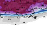
One thing is for sure. If that amount of snow dropped across the entire SE. there would be devastating impacts to buildings and trees and long lasting power outages. Snow is fun and all but that would cripple the SE to a standstill for weeks.
Yeah we still have Ice in the shaded areas here and it's been a week later. 12-24" with multiple days below freezing after would bring this place to a stand still
 
It’s crazy because it looks as though most of the GEFS supports the suppressed coastal to nada scenario the GFS has.

And most of the CMCE (from 12z and I’ll assume the 00z stays the same but time will tell) completely support the CMC solution

Both models and their ensembles seem to be 10 toes deep into what they think will happen. That’s what makes this an especially big time failure for one of these models.

10 years ago we wouldn’t even respect the CMC like that but nowadays it’s made incredible improvements.

So it’s a genuine question .. who’s right and who’s wrong?!
 
So in 5 days parts of ENC will either get a warm nosed sleet pellet or 42” of Snowbird Utah powder. How do you plan for that?
Well, I can tell you what you don't do (like some were doing earlier in the thread - not you).....you don't come in here in the thread and start making bold claims about what is and what isn't going to happen. Bunch of options on the table, lots to sort out, and lots of time left
 
It’s crazy because it looks as though most of the GEFS supports the suppressed coastal to nada scenario the GFS has.

And most of the CMCE (from 12z and I’ll assume the 00z stays the same but time will tell) completely support the CMC solution

Both models and their ensembles seem to be 10 toes deep into what they think will happen. That’s what makes this an especially big time failure for one of these models.

10 years ago we wouldn’t even respect the CMC like that but nowadays it’s made incredible improvements.

So it’s a genuine question .. who’s right and who’s wrong?!
Probably both of them to some degree. Recent history tell us the cmc is off its rocker (I tend to think it is, but maybe not as much as usual?) but the American suite has been ticking toward the snowier solutions.
 
We need to take a moment and appreciate the potential here. The kind of images being printed out with this system are something that may take a decade to be seen again.

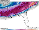
The GFS may be right in the end, but the Canadian solution is absolutely on the table. Heavy snow in the teens with 12++ over a wide area and -0 windshills and temps following. Unreal.
 
Back
Top