Shaggy
Member
One last shot @Disco_Lemonade @lexxnchloe this is my view of the port from river road. Snow on eagle island in front of the cranes

 www.facebook.com
Wow those dark clouds…what a real storm looks like327K views · 6.2K reactions | Waist deep snow drift on the levee in Metairie! Can you believe this is in Louisiana!? | WVUE FOX 8
Waist deep snow drift on the levee in Metairie! Can you believe this is in Louisiana!?
NiceOne last shot @Disco_Lemonade @lexxnchloe this is my view of the port from river road. Snow on eagle island in front of the cranesView attachment 167004

Did it freeze in that position? Can alligators survive this?
From what I read they keep their nose above water and sort of hibernateDid it freeze in that position? Can alligators survive this?
I measured close to 5 inches in the cape fear region that map is low in that area
I see they've upped my area from 2.5 to a report of 4.8 on their totals reportMost of the reports I saw from there were around 3-4”. You gotta be weary in storms like these that you’re not measuring in/around snow drifts. Best practice is to take the average of several measurements

Let’s hope soDid it freeze in that position? Can alligators survive this?
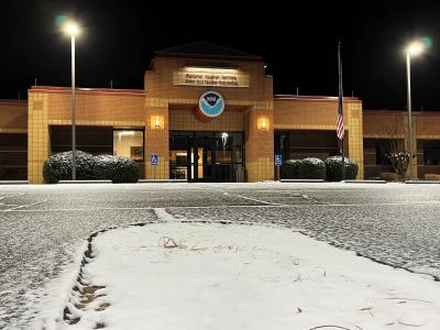
View attachment 167068
Something interesting about this map is in the Putnam and Baldwin county area in Georgia you see higher accumulations of 3.9 and 4 inches of snow. I would assume based on my area that this is lake enhanced snow from Lake Sinclair and Oconee.
I have seen in past cold shots the lakes producing streamers with reported snow. It’s also pretty anomalous that the surrounding area gets no more than 2 inches but the reports centered on the lake each have 3.9 to 4 inchesI don’t think those lakes have anywhere near the surface area to produce mesoscale convective snow
Sent from my iPhone using Tapatalk

I've still got some patches.
This was this morning in a fully shaded spot. The road was still full ice pack which is insane for being in Wilmington on the coast.I've still got some patches.


 storymaps.arcgis.com