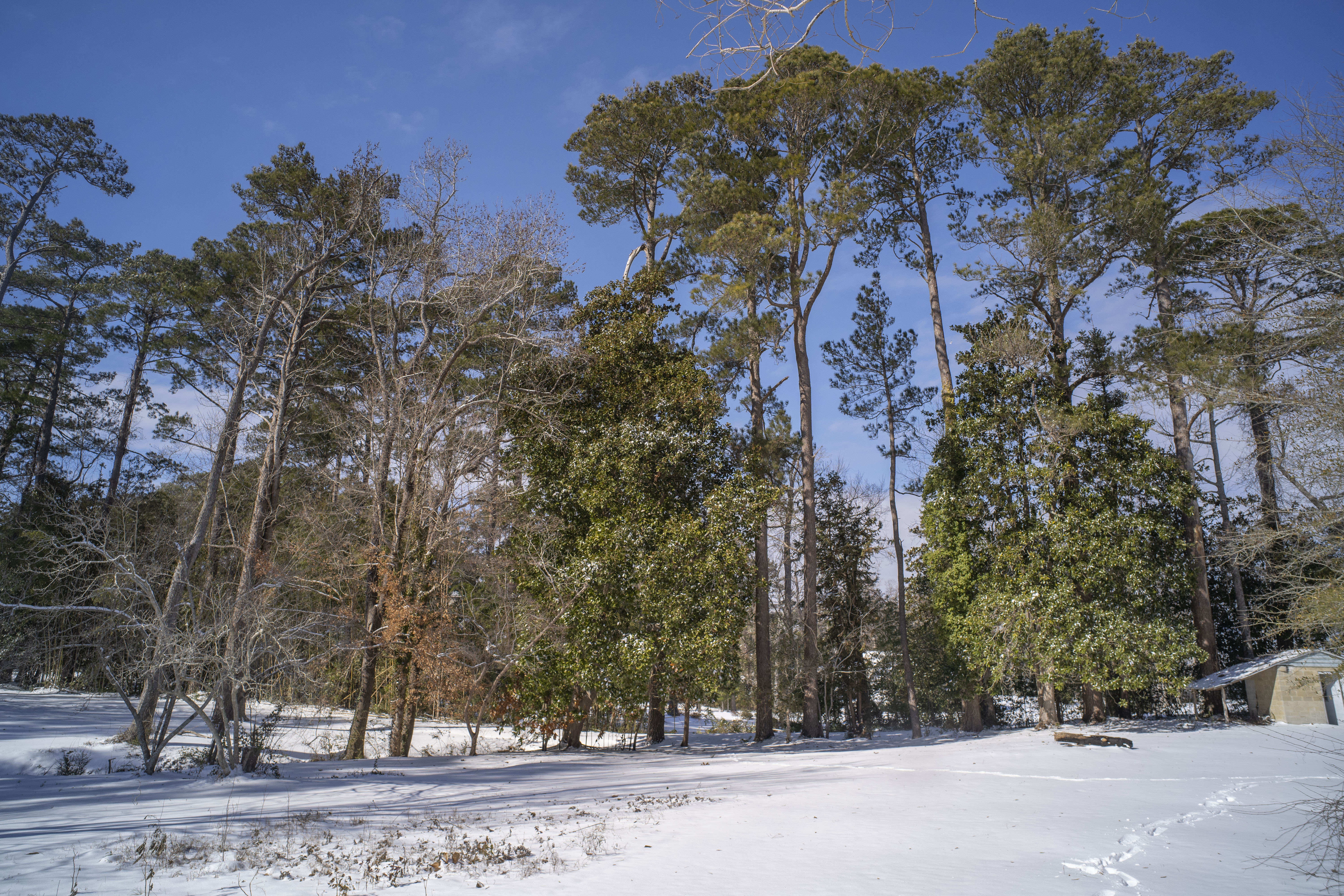
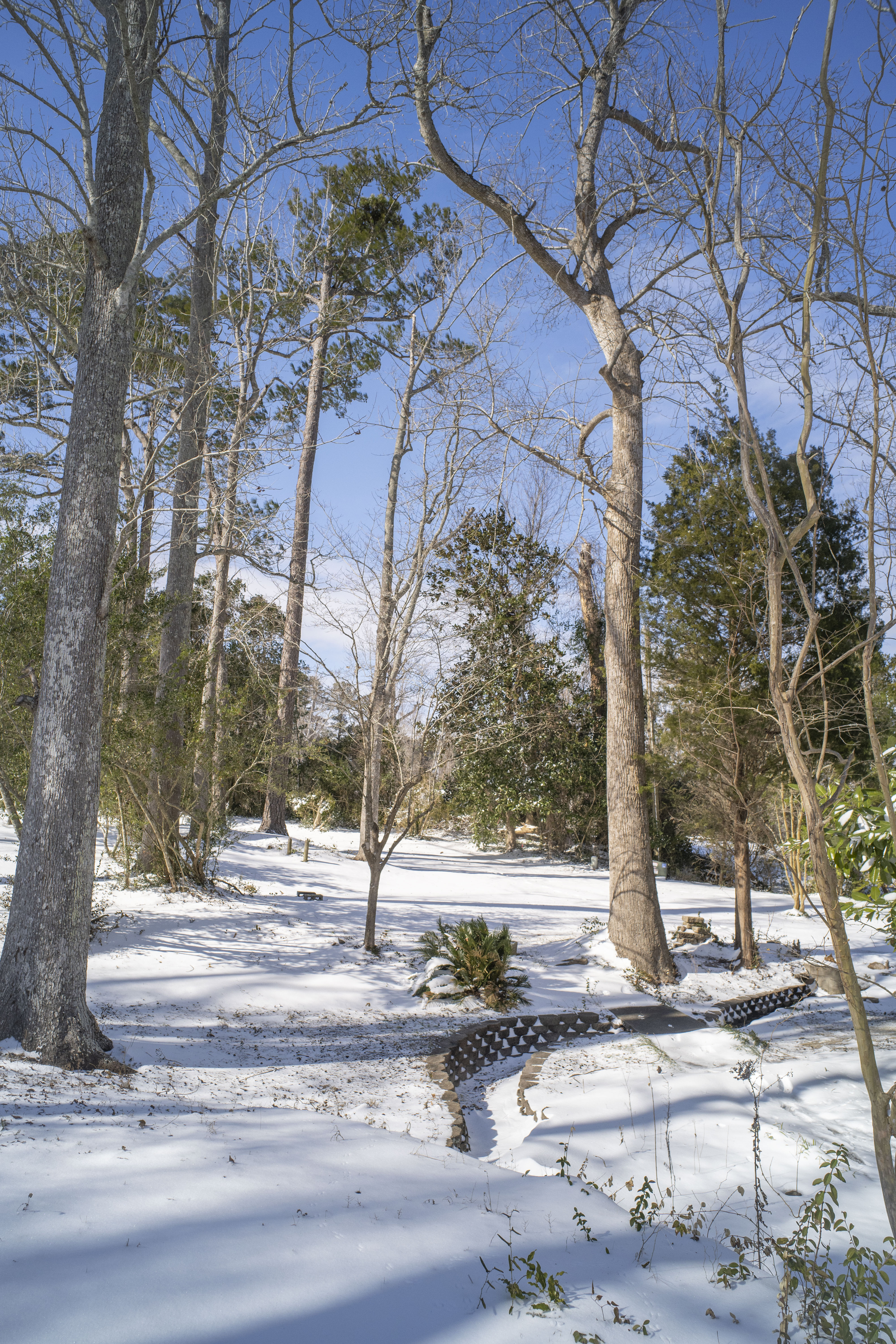
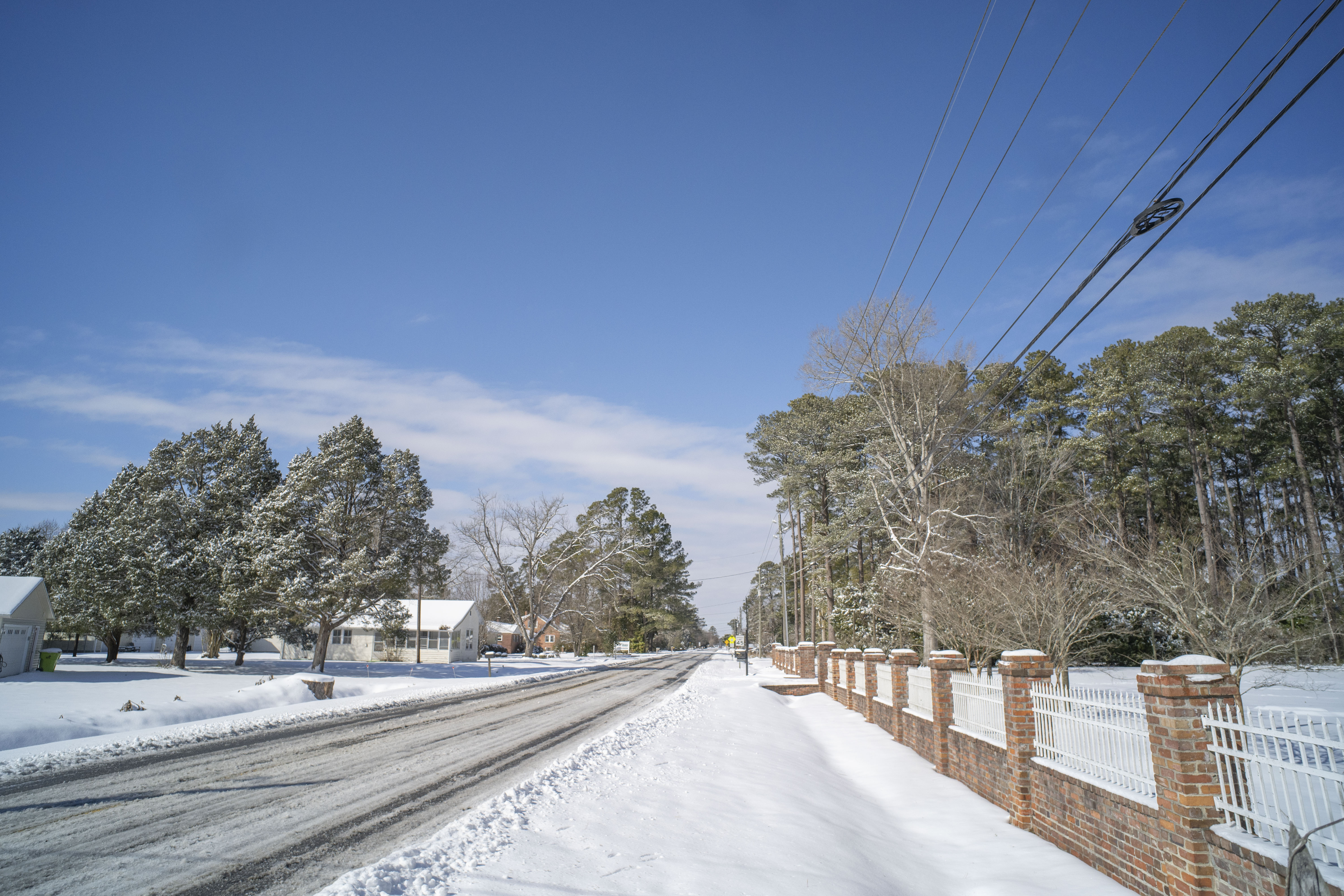
17th street next to haliburton?
looks like only 3ish. interesting that there might be a legit 5 inch gradient thru new hanover county. a lot of models depicted this!
17th street next to haliburton?
B-P mentioned this the other day and I Never thought about it this way, we didnt waste this pattern bc it never was our pattern. We have to ride the line here in NC Piedmont , if Cold is too strong then it suppresses , not enough then we mix. He said this pattern was more indicative to what it did in the end produce extreme southern snowfall. Ik more went into it but it makes sense we cant have some monster high sitting right above us and expect some weak 1020LP to not be squashed to Serve the gulf
Solid event. That’s a tough transfer to the Atlantic which is easy to fumble. Still a great event.The warm nose which started early at 5C at 900mb to 850mb rapidly cooled, then got stuck at 0.5C across portions of the Lowcountry of SC effectively cutting off chances of snowfall history.
Even Savannah, despite it all pulled off a 3" snow. Charleston, SC officially pulled off 2"
New Orleans shattered its modern all-time daily snowfall record on Tuesday, receiving 8 inches of snow, far surpassing the previous record of 2.7 inches. The city has recorded more snowfall this month than Anchorage, Alaska, which has seen nearly two inches in January. The Big Easy typically sees measurable snow only about once per decade.
Other Southern cities also broke long-standing snowfall records:
Mobile, Alabama, reported 7.5 inches, exceeding the previous 3.6-inch record from 1973.
Pensacola, Florida, recorded 7.6 inches, surpassing its 2.3-inch record from 1954.
Milton, Florida, had a preliminary total of 8.8 inches, potentially breaking the state-wide snow record.
I had 5 inches of sleet and snow in leland a couple miles west of wilmingtonI did think the warm nose would overperform along the Carolina coast but I didn’t give Myrtle beach to Wilmington enough credit. What did they end up with?
Wide spread 3 for sure closer to 5 in some spots like as we walked around we hit deeper spots id say were 517th street next to haliburton?
looks like only 3ish. interesting that there might be a legit 5 inch gradient thru new hanover county. a lot of models depicted this!
That's why I wish it was cloudy today. So much harder for the snow to melt when it's cloudy !Already got some bare grass in the super sunny areas. 1” of snow gone just like that, with temps below freezing all morning. The sun is that strong. And the high ratio fluff made it easier to melt, too.
this is why Ive always liked a bit of sleet and Rain mixed in some at the end ... It stays foreverThat's why I wish it was cloudy today. So much harder for the snow to melt when it's cloudy !

Looks like perhaps some enhancement from where the Neuse feeds into the Sound. Sick
Snow still falling around Cape Hatteras to Portsmouth Island and Cape Lookout National seashore after the noon hour
Sent from my iPhone using Tapatalk
I wish it was 55 and cloudy today instead of 30 and sunny. Although, I guess this at least allows the shaded areas to hang on. Big time sublimation going on with this dry snow, too.the sun is so much more important for melting snow than temps
Remarkable cold for the clear day though: still 28 at RDUI wish it was 55 and cloudy today instead of 30 and sunny.
I think it was 2003 where I watched an inch of snow sublimate in a couple of hours with a temp of 17. Just crazy.I wish it was 55 and cloudy today instead of 30 and sunny. Although, I guess this at least allows the shaded areas to hang on. Big time sublimation going on with this dry snow, too.
I have to say the only positive I took out of this event is that this event was even possible. I was becoming more and more convinced that big snows were a thing of the past. I would have to think that if this can still happen at the coast albeit rare, then surely we still have a few left in us as well. Will we see one this year?Still amazing to me that we’ve had as about as good of a pattern and winter as you could draw up in December and January and I only ended up with 2” of snow a 0.25” of ZR. Man idk what it’s going to take for us to finally get legit snow storms in the CAD regions where it should honestly be the easiest outside of the mountains in the entire southeast. You’ve got alligators in the bayou with 10” of snow sitting on their heads right now and we can’t even get jack diddly here anymore. Just frustrating at this point. It’s always never enough cold air and then when we finally get the cold air established, then it’s too much. Happy for those in the Deep South and gulf coast for getting to see snow but there’s never a world where they should be getting snow and we can’t up here.

