• Hello, please take a minute to check out our awesome content, contributed by the wonderful members of our community. We hope you'll add your own thoughts and opinions by making a free account!

Wintry January 21-23 2025

in the big picture i think that storm is somewhat similar to this but i don't think it's a carbon copy at all when you get to the nitty gritty

Maybe so but the overall takeaways I don’t think are going to change. The big one being this is almost certainly going to trend north once the synoptic pattern settles in, which we’re probably a few days from
 
NWS Atlanta overnight discussion

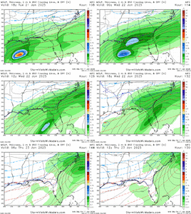
“From Tuesday into Wednesday, the big ticket item is of course the legend of a second Southern snowfall. An important delineator between this potential event and last week`s event is that temperatures are forecast to be colder (and the column drier) leading up to it -- whatever "it" shakes out to be -- and current guidance relegates best moisture closer to the coast, much further south than our last setup. We`ll need to keep a keen eye on the placement and progression of a mid-level shortwave digging across the northern Gulf, as the secondary shot of cold, dry air lurking behind it will likely play a key role in determining the northward extent of PWATs supportive of precipitation. The 00Z GEFS (current hypothetical floor of this event -- would relegate chances for more than a trace of some type of wintry mix to southern and southeastern GA) has come in even drier than its 12 and 18Z counterparts, while the Canadian ensemble (current hypothetical ceiling of this event and a Georgia snow lover`s dream model) has trended wetter the further south of the Metro you go. The 00Z Euro ensemble remains the middle ground solution, and has *also* trended drier but still
advertises higher accumulations than the GEFS. Differences this significant (and this impactful/high visibility) at Day 5/6 don`t push this forecaster to latch onto a specific solution with this forecast package, so we will continue to stick with NBM guidance at this time.”
 
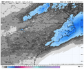
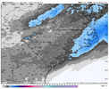
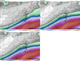
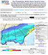
Latest NBM just dropped the totals some based off the 12z run.

I always wonder if it's a precursor of the incoming model runs. So hopefully this doesn't mean we are about to see some slightly dryer lunchtime runs.

Comparison between 06z & 12z below. View attachment 164520View attachment 164521
How does that even work? Isn’t that the national blend of models, so how do they blend it if the 12z models haven’t even run yet?
 
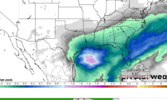
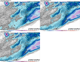
Here’s the Euro AI run

View attachment 164519

Not sure I like the left behind route there. It’s suppressed south of mby until it hits the coast and blows up. Late booms usually benefit the east of 77 crowd though. And the 850s get too close.

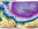
I want to see a continuation of the phasing of the Canada wave with the western wave at the Mississippi. Hope the euro goes closer to that.
 
UKMET has 0.0 VIS for 7AM wednesday morning. Damn.
I’ve been noticing some of the modeling that there does look to be a bit of pressure gradient setting up as the storm starts to deepen off the coast. May have some gusty breezes at times.
 
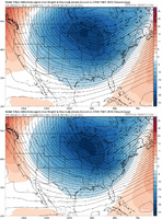
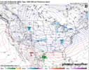
Looking at the 00z CMC and 06z GFS QPF over the southeast, to me it is obvious one of them is handling something wrong. When you have an upper jet oriented like that and are in the right entrance region, combined with strong isentropic upglide due to the dense low-level Arctic air mass, there should be more precip to the west than there is in the 6z GFS. Doesn't matter if it's rain, sleet, snow the GFS is too try if this setup verifies and I am pretty dang confident in that.
Same reasoning/ meteorology you see a LF Tropical converging to ET, more qpf is generated off to its NW after LF? correct
 
I once saw a study that showed the mean surface low for 6”+ storms for GSO and RDU and the surface low was surprisingly far offshore. Like not right on the coast but maybe 100 miles offshore, if I remember it right. Kind of surprised me versus what I would’ve thought, especially for GSO.
Depends on the low strength, of course, but yeah. 100 to 150 miles is optimal range. Any closer and the 850s are toast, any further and there's less moisture.
 
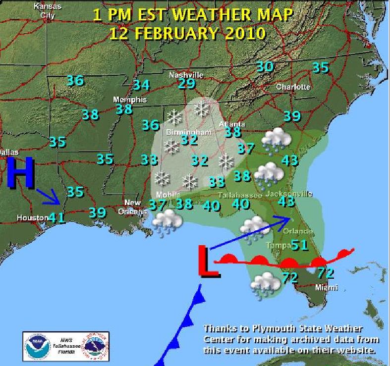
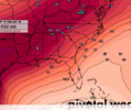
This was the low track for the 2/12/10 storm, I think the cold press is better for this one but this is what you want for snow well into the Deep South

Feb2010WxMap.jpg
 
Maybe so but the overall takeaways I don’t think are going to change. The big one being this is almost certainly going to trend north once the synoptic pattern settles in, which we’re probably a few days from
Are you thinking areas near the Louisiana coast, near New Orleans and Baton Rouge and farther along the Gulf coast trending to more of a sloppy mix, or just more amping of the low to get higher rates, nudge the mix line north, and get more people involved?
 
Thank you! My geography without political lines is terrible. Extrapolating clt location based on the outer banks is hard, lol. .78 inches would do work!

Seems like we can’t get any consistent good trends in a while. Hopefully we keep this going at 12z.
Use the 80 degree line and in between the 2 outerbanks is asheboro to Gboro. Asheboro is actually 79.99. How I do it
 
The Euro AI is close to something special here... Has snow starting to break out at 4pm on Tuesday... then the light overrunning stalls just to the south of I-85 for a long time... then the final storm pivots through and ends precip at 4am on Thursday. One tiny tick north and/or stronger with the overunning shield and you're looking at a 30 hr steady event.
Looked pretty similar to It’s last run from what id seen posted
 
Maybe so but the overall takeaways I don’t think are going to change. The big one being this is almost certainly going to trend north once the synoptic pattern settles in, which we’re probably a few days from
@Webberweather53 Is it possible say us folks around huntsville and the Tennessee valley have a chance of seeing something if it trends north?
 
If one was to assume BUFKIT numbers hold for RDU, thats .83 for the storm total on AIFS. 20:1 snow ratio would make that 16.6" of snow. Even a 15:1 ratio is 12.5.
Correct me if I'm wrong but isn't the Kuchera ratio determined by the warmest layer? 850 0c line gets all the way to RDU so ratios would be 10:1 at the height of the storm even with surface temps in the teens.
 
Back
Top