• Hello, please take a minute to check out our awesome content, contributed by the wonderful members of our community. We hope you'll add your own thoughts and opinions by making a free account!

Wintry January 21-23 2025

This is Wilmingtons AFD. Conventional wisdom says if these temps are relaized the cold press should be strong enough to prevent too much NW trending?

Details: No big changes with the latest update as there is still
significant uncertainty regarding a potential coastal storm which
could bring wintry precipitation mid week. We are more confidence in
the very cold temperatures which could be much below normal and even
close to record territory, although the records are quite varied
during this period. It`s possible that low temps could be even lower
than forecast (into the single digits) as MOS guidance is typically
not as representative in such an abnormal pattern. We also want to
point out that some areas, especially inland, could see temps at or
below freezing for an extended period (on the order of days) so
proper winter safety precautions should strongly be considered prior
to early next week. Cold Weather Advisories are possible as early as
Sun night well inland but more likely everywhere much of the time
from Mon night through Wednesday morning. We could even see
conditions near Extreme Cold Warning criteria for some inland areas,
especially Tue night.

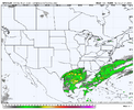
Although the 12Z GFS/ECMWF model runs don`t show much precip over SE
NC/NE SC, some of their ensemble members still do and thus we are
keeping mainly low precip chances in the forecast. Of course, with
such cold temps expected to be in place, the risk for wintry precip
is higher than normal. Snow should generally be the dominant precip
type, but some mixture of wintry weather types (snow, sleet and/or
freezing rain) cannot be ruled out depending on the track of any low
pressure system and how much warm air moves in above the surface.

&&
 
People are cheering for this thing to pull NW too quick. As you can see with Boston this weekend, you absolutely do not want those big NW jumps to start until maybe couple days before. We all know you never want to be in the jackpot in the south 5 days away.
 
People are cheering for this thing to pull NW too quick. As you can see with Boston this weekend, you absolutely do not want those big NW jumps to start until maybe couple days before. We all know you never want to be in the jackpot in the south 5 days away.
Maybe, but this is a different set up with the cold press. Trends vs a broadening field might be more accurate
 
This is Wilmingtons AFD. Conventional wisdom says if these temps are relaized the cold press should be strong enough to prevent too much NW trending?

Details: No big changes with the latest update as there is still
significant uncertainty regarding a potential coastal storm which
could bring wintry precipitation mid week. We are more confidence in
the very cold temperatures which could be much below normal and even
close to record territory, although the records are quite varied
during this period. It`s possible that low temps could be even lower
than forecast (into the single digits) as MOS guidance is typically
not as representative in such an abnormal pattern. We also want to
point out that some areas, especially inland, could see temps at or
below freezing for an extended period (on the order of days) so
proper winter safety precautions should strongly be considered prior
to early next week. Cold Weather Advisories are possible as early as
Sun night well inland but more likely everywhere much of the time
from Mon night through Wednesday morning. We could even see
conditions near Extreme Cold Warning criteria for some inland areas,
especially Tue night.

Although the 12Z GFS/ECMWF model runs don`t show much precip over SE
NC/NE SC, some of their ensemble members still do and thus we are
keeping mainly low precip chances in the forecast. Of course, with
such cold temps expected to be in place, the risk for wintry precip
is higher than normal. Snow should generally be the dominant precip
type, but some mixture of wintry weather types (snow, sleet and/or
freezing rain) cannot be ruled out depending on the track of any low
pressure system and how much warm air moves in above the surface.

&&
i thought this discussion was pretty threadbare for being the most of the ensemble mean maxes the last day or so
 
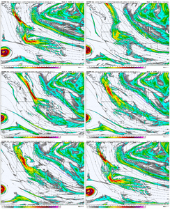
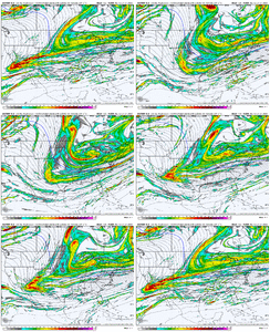
These northern stream waves diving down are the toughest to nail down. It doesn't take much of a change in the orientation and degree of phasing with the arctic jet energy to make a big difference. That's why we still see a wide range of massive hits vs .. nothing at all.

Still a toss up imo but the trends are encouraging
Wow you are excellent with your expertise on the forum. Do you think the storm will come NW?
 
People are cheering for this thing to pull NW too quick. As you can see with Boston this weekend, you absolutely do not want those big NW jumps to start until maybe couple days before. We all know you never want to be in the jackpot in the south 5 days away.
No but I want the a solid mean over my house in the ensembles. Not bone dry. I want to see I’m in the ball game.
 
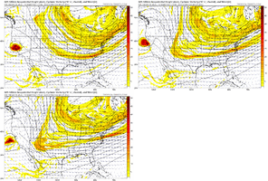
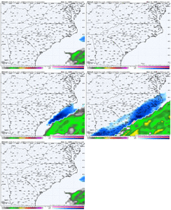
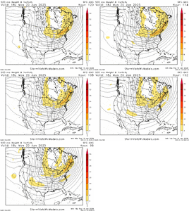
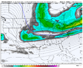
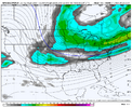
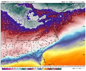
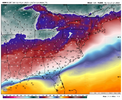
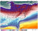
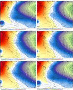
18z GFS still seems to really have a poor handle on the low-level cold air mass compared to other guidance.
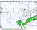
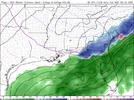
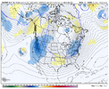
ecmwf-deterministic-east-t2m_f-7482400.pnggem-all-east-t2m_f-7482400.png
gfs-deterministic-east-t2m_f-7482400.png
This would have major implications on the isentropic upglide / overrunning. The GFS is completely out to lunch here still. It probably won't fully correct until the intensity of the Arctic air mass is directly observed and input into it.
 

Firsthand Weather

star_filled_24_fds-gray-70.png
Favorites · 2h ·

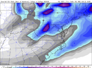
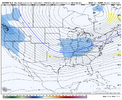
The southern winter storm forecast for next week remains very complicated and uncertainty is and will remain high, more so than average. I anticipate that model guidance, even ensembles, will continue to be all over the place, which has and will continue to show a wide-range range of solutions.
We have a very cold and suppressive pattern coming this weekend into next week, and the final winter storm outcome will come down to the interplay amount multiple waves of energy embedded within the larger-scale pattern.
What this means is that the Firsthand Weather forecasts may be less accurate than usual for this specific event; however, I do think that a decent"rough" estimate for wintry precipitation locations will be between I-20 and I-10 from Texas to South Carolina and then up I-95 into parts of North Carolina.
Most mobile weather apps are automated and based on model data. I suspect that many of you are noticing large swings in the forecast for wintry precipitation in these apps. That will continue over at least the next two days. One minute it may show a foot of snow, and the next, nothing. -Matthew
 
Back
Top