lexxnchloe
Member
We may finally score a win in ILM with the GFS trending better.
does the icon eps show Snow/ZR/IP totals?
You don't often get to say, "Chase to Savannah!"
I never thought I would have a better chance receiving snow here than when I lived in Charlotte.We may finally score a win in ILM with the GFS trending better.
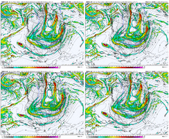
Euro looks significantly improved at H5 View attachment 164192
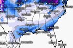
...and those are 10:1 ratios.....NW 1/3 is looking at 16-20:1Biblical totals 48 hours straight. What does the Canadian know? Anything?View attachment 164176
She's looking like it's going to give it a try...Euro looks significantly improved at H5 View attachment 164192
Yeah. There’s a bit of a similarity there to the 1/28/2014 storm. I remember Brad P saying a day before that one that there wouldn’t be a NW shift because the cold air mass was just too strong and there ended up being significant snow back to the mountains. Right now we’re looking at a similar air mass to that one. Also, we all know from experience that these end up being much expansive on the NW side than what is shown at this time. I go to the map the WPC released this morning. Those guys know what they’re doing and have that map for a reasonAgain with the speak in absolutes at day 6 is astonishing. For one that simply isn't correct regarding a NW shift. There is just small tweaks thhat have to happen to get the entire southeast involved here.
Might want to read the last page before this was postedStill no NW trend and getting closer and closer. Let's see what the Euro has.
with that sw feature they are though. Not the large featuresIn no way am I implying that the 12z CMC run was realistic, but the 12z CMC and 12z Euro are not far off at 102 hrs.
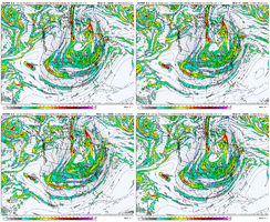
View attachment 164205View attachment 164206
Guys this nonsense has got to stop.If I had to guess the most recent Euro run is the final and most probably outcome. Bigger storm on the coast, almost nothing up this way.
More 4 days out.probably more changes to come imoIf I had to guess the most recent Euro run is the final and most probably outcome. Bigger storm on the coast, almost nothing up this way.

Yep. When you’re dealing with a populace where the area shuts down when there is a FLAKE, let alone what may occur, you have to wait until 2-3 days out to get more than thatThis should probably go into the complaining thread but I really wish some meteorologist would stop speaking in absolutes especially when it's still nearly a week out. There's nothing that says things won't trend better or worse at this point. It's a guessing game right now.
Yes I think you're right, that seems to be the difference later in the run. CMC has it just a little further southeast where it can pull it in. It's really a minor difference overall.The CMC and EC aren’t even crazy different, but the CMC swallows up the ULL and that seemingly gives us better results


Brother you really gotta absorb information in here. The things you post are emotionally driven. Take time to take the valuable info in.If I had to guess the most recent Euro run is the final and most probably outcome. Bigger storm on the coast, almost nothing up this way.
Charleston got smoked with a bomb cyclone 6-7 years ago.If you don’t get any help from the Baja low you’re most likely looking at a northerly flow dominant system that remains suppressed and gives the beaches a wild once in a blue moon event which I’m sure they are quite due for.
You add the Baja low and now you have much more energy and moisture to work with and you get a CMC solution.
Still have to assume the GFS is out to lunch but it’s hard to believe the model is failing so badly inside 150 hours. Certainly not to be trusted going forward if it completely folds .. which it hasn’t yet..
Even during all the other model disagreement, the geps is shifting heavier QPF NW slowly but surely View attachment 164212
