• Hello, please take a minute to check out our awesome content, contributed by the wonderful members of our community. We hope you'll add your own thoughts and opinions by making a free account!

Wintry January 21-23 2025

Do any models like the icon/uk/cmc hold weight at all or do you basically need the euro on your side for the most likely outcome? I’m new to model watching but seems most people think every model is bad besides euro?
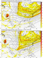
They hold weight when you have multiple look similar. The EURO and its ensembles have always held the most weight because for the longest time they were king in the day 4-7 range. My problem with them is while they are better than most they fall into just as much volatility as the others do these days. For example you generally would never see both of those completely flip in 1 model cycle like you did last night at this range say 10-15 years ago.
 
They hold weight when you have multiple look similar. The EURO and its ensembles have always held the most weight because for the longest time they were king in the day 4-7 range. My problem with them is while they are better than most they fall into just as much volatility as the others do these days. For example you generally would never see both of those completely flip in 1 model cycle like you did last night at this range say 10-15 years ago.
That was a ridiculous flip in modeling by EURO standards correct. We have seen it shift over 2-3 runs in past but to have a completely different look run to run generally been a GFS thing and thats why its called the Goofy
 
They hold weight when you have multiple look similar. The EURO and its ensembles have always held the most weight because for the longest time they were king in the day 4-7 range. My problem with them is while they are better than most they fall into just as much volatility as the others do these days. For example you generally would never see both of those completely flip in 1 model cycle like you did last night at this range say 10-15 years ago.
Even with an increase of data sampling as verification time nears? IMO, the fact that both the Op and Ens jumped ship on the same run tells me it either sampled something new, or, there was bad truncation (which is usually found pretty quickly and noted).
 
That was a ridiculous flip in modeling by EURO standards correct. We have seen it shift over 2-3 runs in past but to have a completely different look run to run generally been a GFS thing and thats why its called the Goofy
Exactly. Don't get me wrong they are both better than the majority of models and absolutely head and shoulders better than the GFS/GEFS. Let's not kid ourselves here either. While the EURO/EPS went east last night, the GFS/GEFS is still like way out in left field vs even the EURO.
 
I was just curious always seems like majority are in agreement or relatively close and one outlier
The big three seem to be Euro, GFS, and NAM. If you have all three showing the same thing, then odds are it is going to happen. But sometimes one of them will go rouge. Last system NAM had a little bit too much leftover Eggnog. It was the outlier.

With both EURO and GFS being outliers for this system, it is very concerning. We need some consensus.
 
Even with an increase of data sampling as verification time nears? IMO, the fact that both the Op and Ens jumped ship on the same run tells me it either sampled something new, or, there was bad truncation (which is usually found pretty quickly and noted).
There's not really any new model sample to take into account this far out though. The vorticity is still sitting out of the Pacific ocean right now. There's not some new sample that they could've inputted this far out, IMO. Which is why I think this is still a volatile situation for another 48 hours at least until you get that closer to Western Canada
 
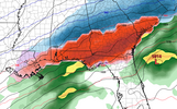
This could be one of the very rare events where you could see a major ice storm in Florida. Basically, from Tallahassee westward. This is courtesy of the very cold air mass that will be in place. I would love to see palm trees covered in ice.

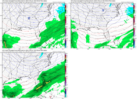
Hr 138:

View attachment 164119
Based on crude TT maps, Southern SC might be in for quite the sleet storm with temps in the mid 20s...
 
Icon has a pretty good look to it right now but I could totally be wrong.
b652b63529ed3fb33f255d81a3f5f73d.jpg


Sent from my iPhone using Tapatalk
Is that sticky note referring to Gods plan to give us 6" of snow?😂
 
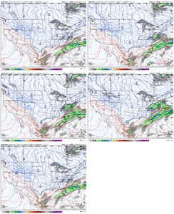
View attachment 164124
It's already inching further west this run out of Western Canada. Likely won't make a big difference but you also have to be realistic that this is likely going to be an inch by inch situation
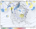
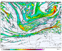
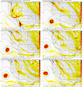
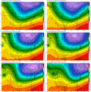
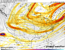
The BAJA or in this case SAN Fran low is a tad slower and a couple hundred miles west of the ICON at hour 78.
 
Our S/W of interest is in a barren desert of data collection. Would be nice to have a plane go in and collect data on it. Besides I’m not so sure the Baja wave matters a whole lot in the grand scheme of things. You get the northern stream to dig SW more and the Baja wave is irrelevant. The +PNA orientation and large scale Synoptics are still the most important thing at this range. I just think you are just as likely to get a storm, with, or without the wave
 
Our S/W of interest is in a barren desert of data collection. Would be nice to have a plane go in and collect data on it. Besides I’m not so sure the Baja wave matters a whole lot in the grand scheme of things. You get the northern stream to dig SW more and the Baja wave is irrelevant. The +PNA orientation and large scale Synoptics are still the most important thing at this range

How are you feeling for us?


Sent from my iPhone using Tapatalk
 
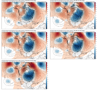
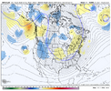
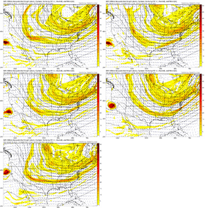
Look at how violent the GFS is moving NW from 36 hours ago for this Sun/Mon deal

View attachment 164131
That’s what’s gonna be annoying about this one is we prolly have to keep watching it even if every model goes suppresso. We’ve seen em re-appear in NAM range
 
Back
Top