Cad Wedge NC
Member
GSP forecast still sunny and cold ..... not even a slight chance of any precip.
If it can pick up the energy in the s/w.if comes out later looks like the cold may b pulling out .but at this point still too far out to know for sureYeh I am sure the GFS will begin throwing haymakers by 18z again.

Now! I keep mentioning this but it feels very much like 2018. I honestly don’t have a good feeling about this one at all for N. AL. Im afraid we end up dry while S AL gets a huge snow.When do we want to start seeing the NW trend? And all of this suppression city. Woof.
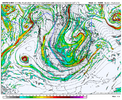
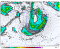
I was looking at this massive change earlier. The previous hockey stick look held steady for numerous runs until last night.Man. This isn’t the best trend at H5 though… something changed out west (likely that ULL backing up not forcing higher heights along the west coast) last night and is carrying on through this 06z cycle View attachment 164042
Be a sharp cutoff, Like hwy 49 from Charlotte up to Burlington. Could move back west to 85 from Char to Greensboro or even further, But it would depend solely on angle and turn, if its straight miller A. Benefit is we stay all snow. The downfall is someone between mtns to central piedmont will get the shaft precip wise.I don’t think I hate it. Easier to hone in if we get a clean tracking Miller A that can turn the corner and potentially hit the entire eastern seaboard. What do you think?
If you’re south of 85 / in sc it absolutely is. It sure why people act like storms down trend nw inside 120 hrs. Heck we see it trend inside 48I thought suppression is agood at this range? Is it not anymore?
This isn't from suppression, its depression ( no storm)I thought suppression is agood at this range? Is it not anymore?
It’s how it’s getting there that’s the problemI thought suppression is agood at this range? Is it not anymore?
It honestly depends on where you’re at. I would say at this point, suppression is still good for the Carolina Piedmont, Foothills and SC upstate and northeast GA, but north and west of there not so muchI thought suppression is agood at this range? Is it not anymore?
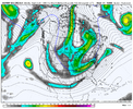
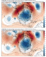
The short-term evolution of both the GFS and EMCF is quite concerning. This isn't a timing issue involving moving pieces but a longwave orientation change at less than five days. If this holds, hat tip to the GFS which beat the Euro by 48 hours to this more neutral tilt longwave trough.ugly trend on the EPS as well View attachment 164045
It depends on why it's suppressed though.If you’re south of 85 / in sc it absolutely is. It sure why people act like storms down trend nw inside 120 hrs. Heck we see it trend inside 48
This is even Starting to not look good for us Upstate crew. To many Trends are starting to head for a Cold Drier SolutionIt honestly depends on where you’re at. I would say at this point, suppression is still good for the Carolina Piedmont, Foothills and SC upstate and northeast GA, but north and west of there not so much
BumpKeep one liners and non threat/pattern comments in banter please.
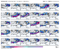
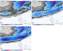
Yet we have the GEPS and GEFS increasing their totals.this is straight evaporation View attachment 164046
 w
w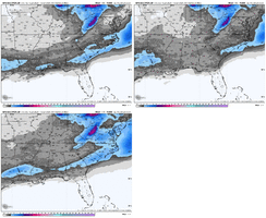
The fact is we’ve seen too many times at this stage, modeling start to lose a storm, only to bring it back a couple of days later. Now I’m not in any way saying that’s guaranteed to happen here, but yes there is still time for these trends to reverseYeah, the trend with the ridging out west has to be wrong, or else there isn’t going to be any way for any energy to dig.
I really don’t think there’s too much time for that to trend the other way as well. The GFS is likely about to score here.
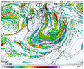
Dig the base of the trough a bit more and just miller A this a la January 2014Backyard dependent but this is what o want to see for mbyView attachment 164050
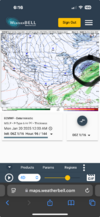
If it's anything which it probably isn't the 6Z NAM has stronger energy out west at the end like older euro runs did.It'll be interesting to see what happens with the pacific over the next 48 hours. That's been a drastic change with the ridge in 2 model cycles that ruins everything down steam let's see how the runs through tomorrow night trend

Tracking these storms isn't for the faint of heart, that's for sure. Great catch here though. There is certainly life within the GEFS suite.Yet we have the GEPS and GEFS increasing their totals.View attachment 164047wView attachment 164048
