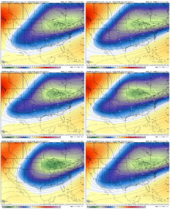
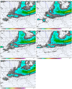
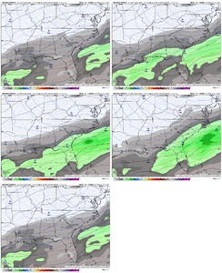
If that is wrong, the entire suite is going down together. Completely locked in.
-
Hello, please take a minute to check out our awesome content, contributed by the wonderful members of our community. We hope you'll add your own thoughts and opinions by making a free account!
You are using an out of date browser. It may not display this or other websites correctly.
You should upgrade or use an alternative browser.
You should upgrade or use an alternative browser.
Wintry January 21-23 2025
- Thread starter SD
- Start date
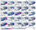
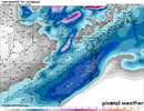
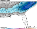
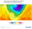
Based on those thicknesses, ratios might truly be close to 20:1 on the northern edge.Hard to ask for more from the CMC Ensemble in terms of the way it looks. Cold with a wet slider
View attachment 164014
accu35
Member
SimeonNC
Member
So apparently Euro went with a GFS-like solution from what I'm hearing. I'm hoping the EPS mean still shows something
Cary_Snow95
Member
Did euro just step towards the gfs…
SnowwxAtl
Member
Apparently, it did. This is the first warning shot with a GFS/Euro combo. Don't be too scared. I think this will roar back on Saturday.Did euro just step towards the gfs…
accu35
Member
We had good runs tonight.
CMC/UK/ICON were golden.
Gfs lost.
Euro little south.
ENS great.
I think the Deep South is in good shape
CMC/UK/ICON were golden.
Gfs lost.
Euro little south.
ENS great.
I think the Deep South is in good shape
Stormsfury
Member
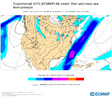
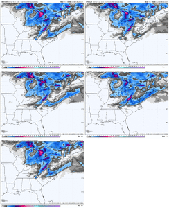
The EURO absolutely weakened the E PAC ridge by a LOT. Completely changed the flow to straight NW/SE, doesn't allow the Western Dig at all... My Guess is it lost the s/w in a lack of data region...noticeable trend to a more northern stream dominant storm on the euro though. But these are big shifts View attachment 164012
accu35
Member
Those looks awesome!! All the ENS @ 0z tonight were not suppress.
John1122
Member
Rough to see the Euro somehow get more amped/warmer than the GFS in one run. Hopefully both are out to lunch. Still a long way out.
Rough to see the Euro somehow get more amped/warmer than the GFS in one run. Hopefully both are out to lunch. Still a long way out.
what? the euro was literally snowing on the fish. very cold run.
NBAcentel
Member
NBAcentel
Member
John1122
Member
The second wave the GFS has been showing, amped up. The Euro just copy/pasted the GFS with it. Except warmer/more amped.what? the euro was literally snowing on the fish. very cold run.
John1122
Member
Anything is possible. There could very likely be a second wave slop fest like they just showed.How do we know they are both out to lunch? Is it possible they could be on to something and be right?
NBAcentel
Member
Stormsfury
Member
not terrible at all depending on how the shortwave is modeled but lack of overrunning will hurt board members west of the carolinas
Six Mile Wx
Member
Hurts that we lost the EPS overrunning look. Hopefully just a blip. That was a big change
CNCsnwfan1210
Member
Definitely has that Miller A look to it
Sent from my iPhone using Tapatalk
Six Mile Wx
Member
0z AIFS is not loading from WeatherBell.
NBAcentel
Member
Latest AI is wayyy suppressed, barely anything
CNCsnwfan1210
Member

06z icon showed some snow starting to break out in TX hr 120, not sure what the rest of that run would have looked like.
Sent from my iPhone using Tapatalk
NBAcentel
Member
CNCsnwfan1210
Member
It wouldn’t take but a couple bumps west for that to be a good one
Sent from my iPhone using Tapatalk
NBAcentel
Member
NBAcentel
Member
CNCsnwfan1210
Member
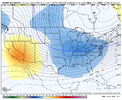
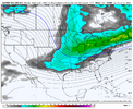
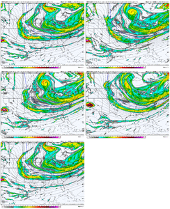
And believe it or not the GFS is getting closer at H5, slowly. Especially with the northern stream wave slowing and backing up, and Cali ULL speeding up View attachment 164034
Beginning of a good trend hopefully with this particular model, we already saw better trends with the GEFS last night.
Sent from my iPhone using Tapatalk
NBAcentel
Member
Key is that piece of energy moving into CA. That needs to be sampled if we want better models outputs .. won’t come ashore for another day or so
In no way did the EURO step toward the GFS. The GFS sends a low cutting to the GL while the EURO was more suppressed.Apparently, it did. This is the first warning shot with a GFS/Euro combo. Don't be too scared. I think this will roar back on Saturday.
NBAcentel
Member
packfan98
Moderator
NBAcentel
Member
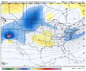
Yeh I am sure the GFS will begin throwing haymakers by 18z again.6z GEFS seems to be cooking.
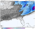
View attachment 164038
packfan98
Moderator
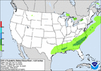
I don’t think I hate it. Easier to hone in if we get a clean tracking Miller A that can turn the corner and potentially hit the entire eastern seaboard. What do you think?Clear trend on the GEFS to the northern stream trough backing up and digging more. Seems like we changing the characteristics of this storm on the EPS/GEFS to something more northern stream dominant View attachment 164036

