• Hello, please take a minute to check out our awesome content, contributed by the wonderful members of our community. We hope you'll add your own thoughts and opinions by making a free account!

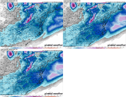
Wintry January 21-23 2025

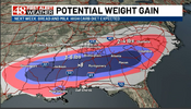
For NC/SC folks worried about qpf, if temps are we modeled and we're in the lower to mid 20s during the storm. Our snow ratios might be closer to 12:1-15:1 than 10:1.

.5 qpf in 12:1 is six inches of snow, .25 is three.

.5 qpf in 15:1 is seven inches of snow, .25 is three and a half.

Unless the cold air trends to become more marginal, we do not need a lot of qpf for a good storm.
 
Yeah I have but this is all over the place
Just like the last storm. Which also had the NAM's last minute shenanigans. If ya want a smoother ride, focus on the ensemble posts. But this is generally how things always go. Especially for those who focus too hard on operational runs as the one and only possible solution.
 
My pessimism is at a all time high before these runs tonight I have no reason to feel like this other then years experiencing the rollar coaster of tracking winter weather it just seems impossible it can "keep" looking solid without some strange hiccups
 
An hour ago the eps and op were too far north then the AI was too far SE now the mudgrips are too far SE. Too many models running too many times and too many people living these events in 1 hour vacuums
Some of us are so old we had to wait until 20 minutes after the hour to see the weekly planner on TWC to see if they had pink and white in TTexas to show us if we had a chance at snow
 
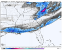
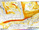
Another gulf coast hit on the ICON. If Gulf Shores gets 4 inches, I will tip my capView attachment 163976
If i said the ICON didnt give a little tingle of excitement, i would be lying through my teeth. I expect the ICON is gonna tear that away from us down here in a single run or two, so not putting much stock into it. Sticking with ensembles for now. I would be happy with just half an inch haha
 
Another gulf coast hit on the ICON. If Gulf Shores gets 4 inches, I will tip my capView attachment 163976
This storm is very reminiscent of the Dec 2018 storm that keep going back south/ suppressed every few model runs. It would tend NW for a couple runs then bounce back to the south. It eventually verified with a southern track.
 
Not sure why, but my local NWS LIX office switched from calling for chance of snow and freezing rain for both Tuesday and Tuesday night, to now calling for a chance of snow at the onset Monday night, then freezing rain and rain for the rest of the event. Are they going with the Euro camp with an amped up system, or just foreseeing the inevitable northwest trend?
 
Beleive the canadian op had two or 3 runs back to back on monday, doing just what icon did. Hold back energy, come out 2 seperate times , 2cnd one being full monty.
 
If gfs/icon solutions are realistic I would expect euro and its ensembles will start backing off. Euro was great even back here in western Carolina’s. Tracking last two storms has been fascinating. Modeling has came a long way but tracking the unknown outcomes is what makes it fun!


Sent from my iPhone using Tapatalk
 
cb14f9cf0ede07d6fc80913b6fbe8917.jpg
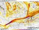
The GFS literally is so far gone … it is more concerned with Sunday


Sent from my iPhone using Tapatalk
 
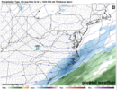
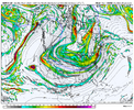
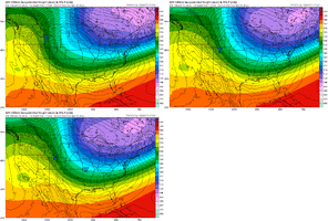
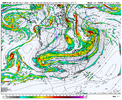
Snow to rain western TN on gfs. Watching it to see just how bad it can get digging the black hole it did at 5H.lol

Gets here thurs night. Rain in KY,onset ice to rain here up into all VA Cad.

Rain in PA. Runs from ATL into GL.Thats a wrap. Model is beyond drunk, on fetanoyl
 
Last edited:
Back
Top