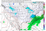
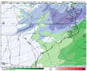
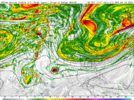
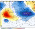
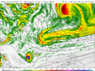
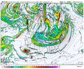
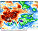
From the New Orleans (LIX) NWS office discussion this afternoon:
"Beyond that point, we`ll need to address the elephant in the
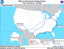
room. By Monday morning, sub-freezing temperatures are likely
across most of the CWA with the possible exception of immediately
south of Lake Pontchartrain (New Orleans) and lower Plaquemines
Parish. How deeply into the area this cold air penetrates will
determine the weather into the middle of next week. This will set
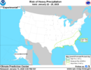
up potential for non-liquid precipitation at some point early to
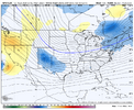
mid week next week. Medium range models aren`t quite in agreement
on timing of precipitation, nor on which type of precipitation
would be the preferred solution for Monday night and beyond next
week. Also in question would be the amount of precipitation that
occurs, with some possibility that the heaviest precipitation
stays offshore. MEX high temperatures for Monday and Tuesday look
significantly too warm."

