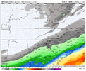
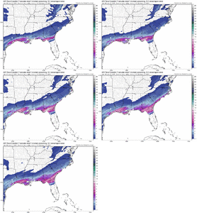
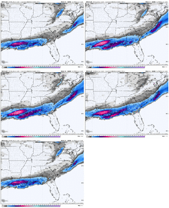
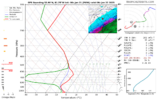
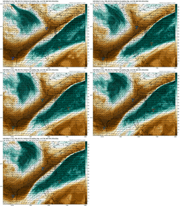
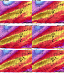
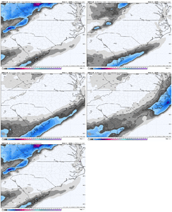
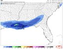
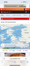
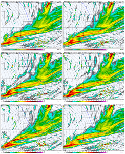
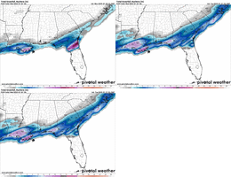
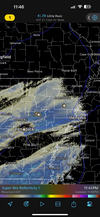
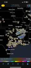
22/3 here in Rock Hill. Which our dews are actually about 6 degrees higher than the 00z Nam19/4 here in Mooresville smh …. 4, yes 4 lol
Sent from my iPhone using Tapatalk
-
Hello, please take a minute to check out our awesome content, contributed by the wonderful members of our community. We hope you'll add your own thoughts and opinions by making a free account!
You are using an out of date browser. It may not display this or other websites correctly.
You should upgrade or use an alternative browser.
You should upgrade or use an alternative browser.
Wintry January 21-23 2025
- Thread starter SD
- Start date
tlokpmalone
Member
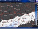
what are the chance north metro atl gets 4 inches?
Drizzle Snizzle
Member
snowlover91
Member
EastmanGAWX
Member
I'm seeing numerous reports online of light flurries in Valdosta, there's a small band of precipiation stretching from there NW to Waycross that is them a taste of what is to come tomorrow night.
NBAcentel
Member
snowlover91
Member
Psalm 148:8
Member
- Joined
- Dec 25, 2016
- Messages
- 344
- Reaction score
- 789
Baldwin county!!! Gulf Shores/Orange Beach.. already announced school closing for Tuesday and Wednesday!! Hurricanes yes.. snow/sleet  wow wow wow!!!
BKWRN29
Member
JMB
Member
Well, if FB says so…Doing some investigating on FB, it seems what we are seeing on radar is not really reaching the ground. That leads me to believe it is in fact not “over preforming”
View attachment 166142View attachment 166143
NBAcentel
Member
beanskip
Member
3z RAP kind of went bonkers with snow compared to prior runs.
RollTide18
Member
Got a sleet mping around Shreveport so I guess it’s starting to reach the ground now
beanskip
Member
Ron Burgundy
Member
SN Mping in Pine Bluff, AK tooGot a sleet mping around Shreveport so I guess it’s starting to reach the ground now
Forevertothee
Member
Hrrr starting to line these vorts up now back in the plains
Hrrr starting to line these vorts up now back in the plains View attachment 166144
How do you think this would affect moisture on the NW shield?Hrrr starting to line these vorts up now back in the plains View attachment 166144
RollTide18
Member
New HRRR has it snowing here much earlier than the previous run, actually shows my area getting accums too whereas the previous run was well south
I can confirm it is snowing in Ellis County (Waxahachie) just south of Dallas. My best friend just text me and confirmed it.
Edit: It is accumulating also on grassy areas and cars from what he told me. that is a great sign!
Edit: It is accumulating also on grassy areas and cars from what he told me. that is a great sign!
Sctvman
Member
accu35
Member
New HRRR much further NW this run. It’s adjusting each run
beanskip
Member
So to extrapolate this for the Gulf coast, higher DP's would mean higher wet bulbs which would mean the onset of precip might not drop temperatures below freezing, correct?Even though 00z GFS was nice, it still greatly underestimated low level moisture.
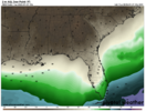
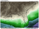
GFS 00z vs RTMA 2m DP 03z
View attachment 166148
View attachment 166149
Round Oak Weather
Member
mping report from Monroe, LA for snow
Sctvman
Member
College Station, TX
lcpdk
Member
My friend reports flurries in Dripping Springs TX west of Austin.
Sctvman
Member
beanskip
Member
Wow the Oz UK enters the outlier Hall of Fame. Like, no snow for anybody!! (Well, almost))
SnowDoomer21
Member
Sent from my iPhone using Tapatalk
Temps are not falling as fast as predicted here in Charleston area and that's before the clouds move in.
BKWRN29
Member
Sent from my iPhone using Tapatalk
Not to be a Debbie downer but I don’t think it’s reaching the ground..
NBAcentel
Member
accu35
Member
Yes it is, did you not see all the video clips that’s been showing of it snowingNot to be a Debbie downer but I don’t think it’s reaching the ground..
BKWRN29
Member
No where are you finding that at?Yes it is, did you not see all the video clips that’s been showing of it snowing

