• Hello, please take a minute to check out our awesome content, contributed by the wonderful members of our community. We hope you'll add your own thoughts and opinions by making a free account!

Wintry January 21-23 2025

Been waiting for the inevitable BL/temps issues in TLH -- no signs of it ... until 18z -- lost a degree or two from north Florida -- took away all my cushion! Who knows if it's right, of course.
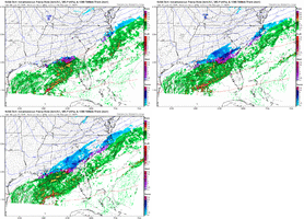
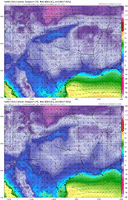
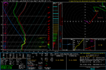
NAM is like way way warmer in the upper levels than GFS.

We learned on the last event to never disregard the nam's midlevel temps, and even over do them sometimes. BUT if it's this much warmer, it makes you wonder about a few things further upstream... I'll leave one to ponder about that.
 
I am a few more tics away from legit business about 20 mile north of I 20 in West Georgia turn baby turn
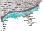
I am near the ATL airport. I can totally see a more NW Trend of the precip. I will say maybe 1 to 3 inches around the metro. metro Atlanta south closer to the higher in total. Lets reel this in before Feb warms us up.
 
Area Forecast Discussion
National Weather Service Columbia SC
313 PM EST Mon Jan 20 2025

.SHORT TERM /6 AM TUESDAY MORNING THROUGH WEDNESDAY/...
Key Message(s):

- Very cold temperatures continue through the short term.

- Winter storm remains on track to affect the region Tuesday late
afternoon/evening.

- Winter Weather Advisory issued for the eastern Midlands.

Did I mention forecasting winter weather is so much fun?!?!?!?!
Anyway, one thing we remain highly confident about is the cold air
for Tuesday into Wednesday as arctic air continues to filter in from
the northwest. Afternoon highs are expected to be around 20 degrees
below normal for both days. Wednesday`s highs will be partially
dependent on any snow cover from the expected winter system.
Overnight temps are expected to drop into the upper teens to lower
20s, but winds are expected to stay elevated causing wind chills in
the lower teens or single digits at times. Due to the cold temps
during the day and frigid temps overnight, we have extended the
Cold Weather Advisory until 10 am on Wednesday.

Now, for the "fun" part. Almost all of the 12z guidance has shifted
the upcoming storm track back to the north and west a bit as well,
which has led to an uptick in snow amounts for the forecast area.
Another trend some guidance has been showing is possibly an earlier
onset of the snowfall for the forecast area, which seems reasonable
given models don`t typically handle initial warm air advection
precipitation well with these systems.
The most likely onset time
remains in the 3-8 pm time period, however. It still looks like a
quick moving system, however, and is likely out of the area before
dawn. A limiting factor continues to be some dry air in the lower
levels, which could limit snow totals. A change with the latest
hires guidance is that the lower levels do moisten up for areas
south of the I-20 corridor, so confidence has increased for
accumulating snow for those areas.
Confidence is highest for around
an inch of snow in the eastern Midlands, so we`ve issued a Winter
Weather Advisory for those areas. Still expecting a sharp gradient
between accumulating snow and no snow, but uncertainty remains in
exactly where that gradient will wind up. We`ll continue to monitor
model trends to determine additional changes to forecast amounts and
if an expansion of the Winter Weather Advisory will be needed. As
we`ve been mentioned, the lingering cold air will likely cause any
snow on the ground to stick around a little longer than typical for
the area.
 
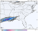
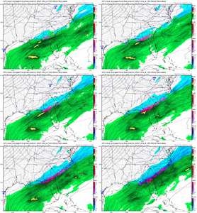
OMG FFC may have the last laugh! NAM throws snow up into N. Ga. lol.

Yeah can’t say I’m too surprised by that, although a lot of folks questioned them yesterday, they know what they’re doing. I’ve seen a lot of folks talking about there being a ton of virga here too but I’m very skeptical of that
 
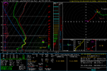
I know during warm months, thunderstorms, the HRRR has a tendency to mix out DPs and have drier air in place not sure if that translate to this situation or not. Could be why it is too dry at surface. Also notice the same processes that are taking precip further south initially help bend precip back to NW along EC, orientation of trough. AI just sucked me back in too.... all great signs this afternoon
 
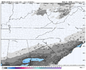
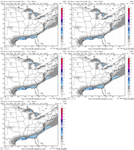
If we can get one more jump like that, the entire I-85 corridor will be looking at 1/2" of snow! Let's Go!
The .1 line is literally on my front door, if this verifies I'm knocking on an inch easily
 
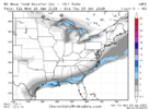
Took longer than I thought to finally see this but the classic last second NW shift is happening leading into this overrunning event.

View attachment 165924
Should've never doubted the NW trend. I really believed that this system was dead in the water for the Carolina's with how things were looking 24-36 hours ago. I'm glad that this is coming back to us at the last minute.
 
Yeah can’t say I’m too surprised by that, although a lot of folks questioned them yesterday, they know what they’re doing. I’ve seen a lot of folks talking about there being a ton of virga here too but I’m very skeptical of that
In bold: Do tell, Webber.... Thanks!
 
I’m going to press x doubt that this is going to be just light snow or virga for most of East-Central NC. There’s going to be some moderate to heavy rates wherever snow occurs.

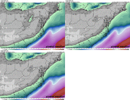
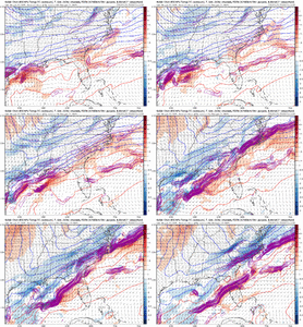
This pivoting band of low level frontogenesis on an initially advancing low to mid level warm front, then a crashing cold front, argues for a lot more than just light snow.

This could easily put down a few inches or more if you get stuck under that. Models currently advertising that to setup shop near the I-95 corridor.

IMG_4468.gif
 
Back
Top