• Hello, please take a minute to check out our awesome content, contributed by the wonderful members of our community. We hope you'll add your own thoughts and opinions by making a free account!

Wintry January 21-23 2025

I went back and looked ....this is a spitting image not of 2014, but of Jan 2022. I found a radar image i took screenshot of that morning vs an hrrr run ....the model had jack over 50 miles to its NW low was way out in the Gulf as this is, but radar had qpf all the way to upstate and middle GA. I ended up with 1.5" that night. "out of nowhere" bc in last 12hrs it had a mindof its own. Same setup and all it looks so similar on models then vs now looking back
 
I went back and looked ....this is a spitting image not of 2014, but of Jan 2022. I found a radar image i took screenshot of that morning vs an hrrr run ....the model had jack over 50 miles to its NW low was way out in the Gulf as this is, but radar had qpf all the way to upstate and middle GA. I ended up with 1.5" that night. "out of nowhere" bc in last 12hrs it had a mindof its own. Same setup and all it looks so similar on models then vs now looking back
Does anyone have the soundings for the 1/28/2014 event?
 
I mean some areas from nothing to 2" in one run, this has to be a meteorologist nightmare

View attachment 165753

Well it's about to be YOUR nightmare because we have a new snowfall forecast thread up and running!

$100 to the winner

Sites for the contest:
New Orleans, LA (MSY) – “money site” for this contest – a new twist
Mobile, AL (MOB)
Augusta, GA (AGS)
Charleston, SC (CHS)
Greenville, NC (PGV)

Link to the contest thread: https://southernwx.com/community/threads/griteater-snowfall-contest-2-0.1372/
 
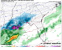
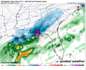
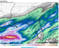
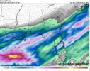
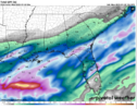
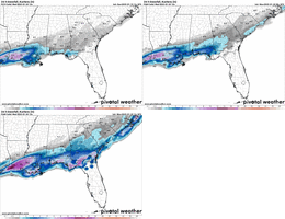
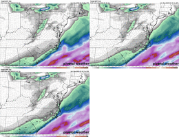
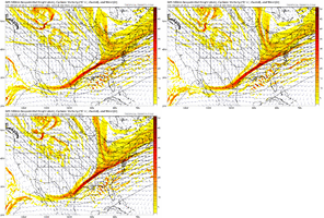
I don't like the NAM as much as the next guy, but I would think it's onto something, depicting an expansion to the NW. It's probably not done.

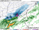
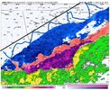
Central SC and NC could end up with an inch with a dusting back to the Triad and just east of the Upstate to CLT.
 
View attachment 165804
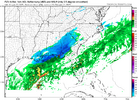
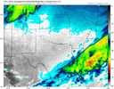
Wishcasting..... But HISTORY would tell us virga or not....this area ive shaded HISTORICALLY would be what radar looked like verbatim in this pic

The 3km NAM was the warning shot...its always to sting with the NW extent of the precip...assuming today's run is correct.
 
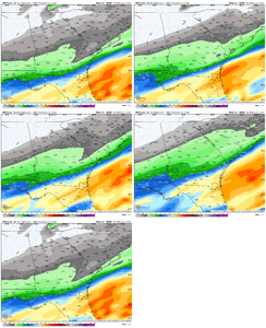
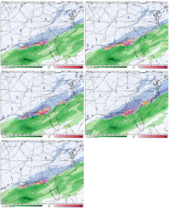
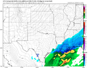
I mean, I know the bulk of the board is on ATL/CLT/RDU/CAE watch (and rightly so), but can we just talk about model after model spitting out 4-6 inches of snow for Destin?

The most snow TLH has ever received since humankind began recording snow is 2.8 inches -- the GFS just almost doubled that.

A foot near New Orleans -- this is crazy one-in-a-lifetime stuff.
 
Just saying this is similar to Jan 22, all of a sudden nam shifted west inside 48 and it didn’t stop until zero hour
I’m also gonna throw in February 2010 as well. Many areas of the SC upstate and NC southern Piedmont went from a chance of flurries to a 2-5” snowfall in less than 24 hours.
 
I mean, I know the bulk of the board is on ATL/CLT/RDU/CAE watch (and rightly so), but can we just talk about model after model spitting out 4-6 inches of snow for Destin?

The most snow TLH has ever received since humankind began recording snow is 2.8 inches -- the GFS just almost doubled that.

A foot near New Orleans -- this is crazy one-in-a-lifetime stuff.
I hope you score so big man! Yall deserve it down there on the coast.
 
Back
Top