On this date in 2009 is the only example I can think of. We were progged to get an inch or two in Raleigh, but got nearly 7 inches. Much different set up than this one, however.Definitely think the chances of us seeing a dusting or even a coating in the Triangle are increasing. When we over perform it tends to be in these situations where we aren’t supposed to really get anything and we end up with a half inch or something. We never have it where we are supposed to get 3-6” and get 10”.
-
Hello, please take a minute to check out our awesome content, contributed by the wonderful members of our community. We hope you'll add your own thoughts and opinions by making a free account!
You are using an out of date browser. It may not display this or other websites correctly.
You should upgrade or use an alternative browser.
You should upgrade or use an alternative browser.
Wintry January 21-23 2025
- Thread starter SD
- Start date
Shaggy
Member
I know I shouldn't be but I'm holding out a little hope still here. Very tight qpf gradient just offshore is only 75 miles away. EURO AI has me at .25 qpf but a deeper expansion of moisture or a true NW trend puts me closer to .50.
beanskip
Member
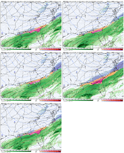
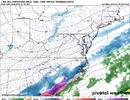
Small north jog with 12z NAM -- snow now on Atlanta's doorstep.
I kind of think we settled in the worst possible solution. So the pieces are northern and southern stream. Remove the northern stream and we probably get a juicer cruiser. Remove the southern stream and the possibilities tail off some but could still likely seed a nice storm. But we have our two waves. You get them further apart, it’s likely the southern stream gets left behind and becomes its own thing. Closer together, obviously we’ve been over this. We settled in on this perfectly terrible setup that tilted the entire wave profile into this pitiful positive tilt disaster that completely neutered the potency of both waves. Whatever. So it goes. Be graceful and be happy for the coast, because they’re usually on the outside looking in and if I were still in high school this would be my landmark storm to trackWe often struggle to score when it’s cold and this time was no different. Too much of a good thing.
beanskip
Member
Three more trends like that from the NAM and by tomorrow morning Atlanta will be back in the game for an inch or two.
Brandon10
Member
Low looks closer to coast on 12z NAM?
RollTide18
Member
NAM north by a hair
beanskip
Member
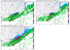
Pretty big change in Eastern N.C. on the NAM at 42 hours -- covered about half the territory from the old snow line to RDU.
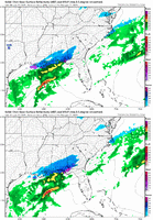
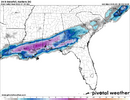
Let me rub the sleep out of my eye, is the precipitation shield creeping up into north Alabama?It's a cref party on the namView attachment 165743
Makeitsnow
Member
Well it's almost time to start watching radar. I will be watching northern LA...if precip breaks out there and reaches the ground this evening it could be important for those on the northern edge or just outside it.
One thing is for sure..some are going to be sick looking at all the virga over their head.
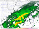
One thing is for sure..some are going to be sick looking at all the virga over their head.

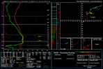
It's been there on a lot of the hires guidance it's just an ugly profile for many of us away from the coastal regions with a huge dry layer below 850.Let me rub the sleep out of my eye, is the precipitation shield creeping up into north Alabama?
packfan98
Moderator
FWIW a meteorologist in the mid Atlantic mentioned that the frontogenesis was 30 miles northwest of all of the modeling for their storm yesterday. Get a little more lift and many of us back to the I-85 could at least see some flakes in the air to match @Myfrotho704_ reflectivity map he just showed.
As it is, things are definitely trending better for southern parts of Alabama and Georgia and to a lesser extent the coastal plains in SC and NC. If we can get at least one more tick NW and another row of counties in the heavier juice, that would be a big win.
As it is, things are definitely trending better for southern parts of Alabama and Georgia and to a lesser extent the coastal plains in SC and NC. If we can get at least one more tick NW and another row of counties in the heavier juice, that would be a big win.
beanskip
Member
Northern Conecuh county Alabama ...
6z NAM: .05 precip
12z NAM: .66 precip
Keep your head on a swivel, folks.
6z NAM: .05 precip
12z NAM: .66 precip
Keep your head on a swivel, folks.
NCWeatherhound
Member
So many folks just "one small tick" away...including us in the Sandhills.
But if ... IF ...these baby steps on the HRRR and AIFS continue, a 50-mile encroachment of moisture is possible. That gets ATL, RDU, CAE, all within a decent event.
It'll never be that dream run we enjoyed over the weekend. But for a starving man, a Spam sandwich is a feast.
But if ... IF ...these baby steps on the HRRR and AIFS continue, a 50-mile encroachment of moisture is possible. That gets ATL, RDU, CAE, all within a decent event.
It'll never be that dream run we enjoyed over the weekend. But for a starving man, a Spam sandwich is a feast.
packfan98
Moderator
The Nam suite has a dry bias more than 24 hours out over the past couple of years. I wouldn’t be surprised if those sparse areas in SC and NC fill in over the next few runs.
Sctvman
Member
Another call map
beanskip
Member
Another call map
Bless his heart, the minute he posts, a model run comes out trending to the exact opposite of what he's saying.
Makeitsnow
Member
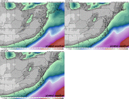
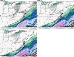
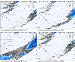
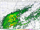
Will be watching the area of moisture the 3km shows below and if it over performsUmm. Nothing slight about that fam.
View attachment 165748
beanskip
Member
The pros would know better than me (evergreen disclaimer) but when the NAM first started running it looked like the energy in the southwest started orienting a bit less positively tilted.
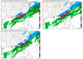
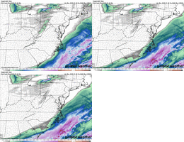
LOL, one more shift like that and we’re edging towards warning criteria.Hi Res NAM massive jump as well, doesn't get back as far as the NAM and is probably more realistic. But dang it, one more shift like that, not sure enough time though
View attachment 165751
Bumping this. This was a bigger shift than we need nowWent back and looked at 2022 just 48hrs out. This tells a story if how we shifted west w precip. I ain’t giving up
View attachment 165493
View attachment 165494
WolfpackHomer91
Member
These look great, 36hrs to gametime.... "Lord ive seen what youve done for others" can we get 100 miles
This bring Coastal NC back in game for 1-3 inches of snow with 3-6 inches of snow along Outer Banks. It's also making things interesting for the I-20 corridor areas as well. Keep trending like this somehow and maybe we luck out with something.Umm. Nothing slight about that fam.
View attachment 165748
It probably won't stop through hour 0 imoHi Res NAM massive jump as well, doesn't get back as far as the NAM and is probably more realistic. But dang it, one more shift like that, not sure enough time though
View attachment 165751
packfan98
Moderator
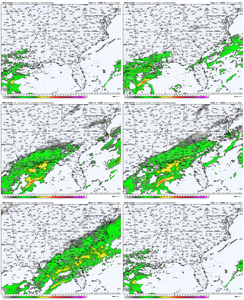
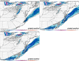
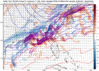
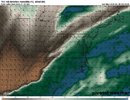
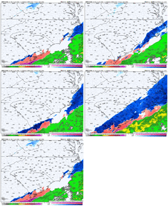
I’m over 50% confident that if the upper features will hold, the radar would fill in all of those holes in sc and ga as well as the eastern half of NC up to around Norfolk.Not sure the precip shield wouldn't be a little more expansive to N/NW, maybe I am just grasping
View attachment 165757
View attachment 165758
View attachment 165760
Edit- and then it would match those Graf model runs we saw recently…
snowlover91
Member
We just have to saturate that urinal cake layer and we will be good. History says that happens faster than modeled but you know the one time we want it to...Not sure the precip shield wouldn't be a little more expansive to N/NW, maybe I am just grasping
View attachment 165757
View attachment 165758
View attachment 165760
Arefutes
parts of SE Alabama go from .05 to .5

