-
Hello, please take a minute to check out our awesome content, contributed by the wonderful members of our community. We hope you'll add your own thoughts and opinions by making a free account!
You are using an out of date browser. It may not display this or other websites correctly.
You should upgrade or use an alternative browser.
You should upgrade or use an alternative browser.
Wintry January 21-23 2025
- Thread starter SD
- Start date
packfan98
Moderator
beanskip
Member
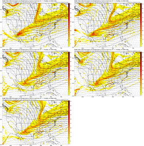
And as a result, lower pressure in Gulf and considerably more robust precip over La. vs the 18z run.The HRRR is a step in the right direction with the northern/polar branch disturbance. Need to see more of that the next few model cycles
Quack
NBAcentel
Member
All else being equal if models hold this look I would be shocked if it didn't verify a little NW of that, good to see it stopped going southSmall tick for eastern NC
View attachment 165658
IF THAT FEATURE WOULD BE SITUATED NEAR THE TN/MO BORDER THAT WOULD BE AMAZINGNeed to shove that feature in N GA/AL further NW in future runs. This is a killer and ----- off the column faucet View attachment 165659
Thought it was actually a jump until I noticed it was starting with the 18z run yesterdaySmall tick for eastern NC
View attachment 165658
Yeah, I feel pretty confident about that. Unfortunately, I don’t see it being enough so to get us in the “game”, although T-1” is certainly on the table.All else being equal if models hold this look I would be shocked if it didn't verify a little NW of that, good to see it stopped going south
WFFaithful
Member
What is a feature of dry air like that called?Need to shove that feature in N GA/AL further NW in future runs. This is a killer and ----- off the column faucet View attachment 165659
NBAcentel
Member
w/o NAM support tonight (increase) it's just a wobble in my viewThought it was actually a jump until I noticed it was starting with the 18z run yesterday. You know we're in bad shape when we're analyzing one one hundredth increases lol. Well within the noise - will more than likely go back the other way because let's face it, that's what it wants to do.
beanskip
Member
Squinting hard to find a game-changing trend with the 0z NAM, but not seeing it so far.
rburrel2
Member
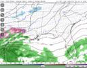
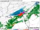
Snow showing up offshore Charleston at 36 weird
This NAM run, like the last several, is going to be further south than the previous. Guess we hope that we reverse this trend at 6z.. but I don't see it at this point.
Blue_Ridge_Escarpment
Member
Just too much of a good thing with the PV push. “Too cold to snow”This NAM run, like the last several, is going to be further south than the previous. Guess we hope that we reverse this trend at 6z.. but I don't see it at this point.
Meanwhile they'll be having 24-25F heavy snow in Louisiana (of all places)Just too much of a good thing with the PV push. “Too cold to snow”
NBAcentel
Member
Nam is digging the northern stream more but the southern stream is so far behind, it don’t really matter. If we had a phased system right now we would be trending to a even bigger one with these northern stream adjustments at 00z
Blue_Ridge_Escarpment
Member
Yeah I should have prefaced mid south. Majority of the time when there’s a PV push of this nature it’s snowing on beaches or for those on a tropical cruise.Meanwhile they'll be having 24-25F heavy snow in Louisiana (of all places)
NBAcentel
Member
It is lined up at hr 42. I cant post images on this thread or i would
Edit: got in front. Oh to get those lines more s to north on the se coast.
Edit: got in front. Oh to get those lines more s to north on the se coast.
Last edited:
accu35
Member
FWIW Nam is little north this run.
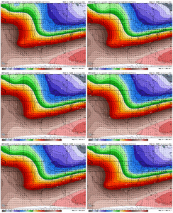
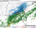
Look how far north 540 thickness line has climbed
NBAcentel
Member
junbb1
Member
T
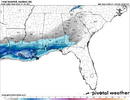
HP has a weaker push on the FV3 vs Nam. Grasping I know…
NBAcentel
Member
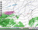
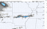
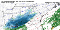
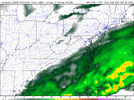
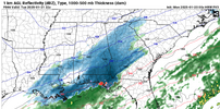
Nam has like 9 hours of reflectivity here but can’t moisten the low levels
beanskip
Member
0z NAM taking the low over the Dry Tortugas, lol.
How does that affect thingsLook how far north 540 thickness line has climbed
FV3 must be the GRAF's crazy cousin, probably be enough to keep the NBM from tanking tonight
NBAcentel
Member
just a fyi that’s 1km reflectivity so that’s way above our heads

