NBAcentel
Member
Suspect there will.still be some banger individual members
I would look at hi res models within 90 hrsWhat models are better at this time frame because I’ve been investing into the NBM but idk if it’s accurate
Sent from my iPhone using Tapatalk
So basically its the Euro EPS/CMC/NBM vs the GFS/GEFS until short range comes into focus if they haven't already?
I would look at hi res models within 90 hrs
Incredible model agreement from the ensembles. wOw.
To me it brought what I mentioned earlier, NS still in a decent spot but not as oppressive and not suppressing the height field as much, and the southern wave sharpening up a bit. More leaned towards more overrunning@Myfrotho704_ @1300m @griteater @Webberweather53
Any of yall got some analysis of the eps in the 5H setup? I sure didn’t expect it to improve like that.
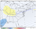
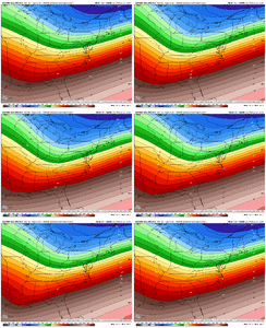
Webb, do you still think the lift for areas further N and West is still in play to help us South of 85 and West of 77?Yeah I’m still not that worried about suppression yet as others are.
I find that it’s a model cycle behind. 6 hours later it will have assimilated all of the models we’ve already seen. It’s a good tool for the public and good for us to see the blend, but most of us here are already ahead of the NBM.That NBM has to be off. I hope I do get 4 inches
I think it is bringing back more of a coastal low that is enhancing the back half of the event. 00z last night had a big boom in those then started to fade and went back towards more deepening surface lows.@Myfrotho704_ @1300m @griteater @Webberweather53
Any of yall got some analysis of the eps in the 5H setup? I sure didn’t expect it to improve like that.
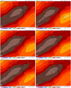
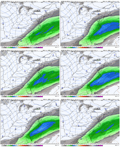
Either off shore or bangers, nothing too suppressed what a good sign of some life actually
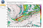 12Z Euro today
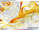
I do wonder if that S/W in the Nw/SW Canada makes a difference thoughI'd like to pull a comparison. Keep note this was the Euro at 36 hours back in 2017.
View attachment 16525612Z Euro today
View attachment 165257
Subtle differenced with the key being the ULL in the PAC. Keep in mind how far up 2017 actually came to pass. From what I can tell even if we get bad. I'm very much focused on the NS and SW coming in. While this may not play out the same, this is a major reason I've not called anything yet.
It may be worth comparing the 2017 system with this to see how they play out. It's possible there's some interference but a diving SW and NS being that close resulting in a bomb Miller A once very much could mean it could happen the same again. The only change factor would be how they play out and the extra pieces and how they ultimately influence the storm.I do wonder if that S/W in the Nw/SW Canada makes a difference though
There is no doubt they seem rather bullish. The northern impacts are just so up in the air. We need some clarity but not sure we get any until Monday morning6:00p 1/18: Winter weather impacts are expected across much of Central Alabama on Tuesday. An area of accumulating snowfall is expected across the southern half of Alabama on Tuesday, with travel impacts becoming likely. Winter products (Winter Weather Advisory, Winter Storm Warning) are likely to be issued within the next day or so. In addition, very cold temperatures (10-20F) and wind chills (0-15F) have necessitated a Cold Weather Advisory for Monday morning. Further advisories or Extreme Cold Warnings will likely be needed in subsequent mornings. #alwx
May be an image of map and text
