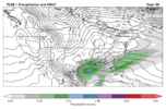
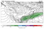
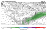
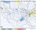
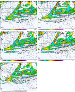
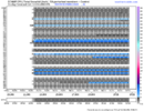
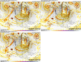
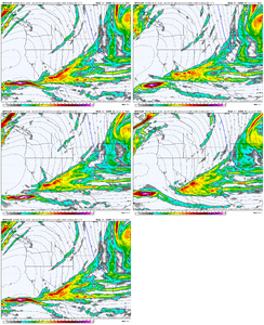
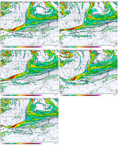
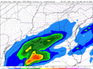
Yeah I think we've lost the southwestern wave, all we can hope for now is more digging from the northern wave. Could still work but it's not going to be the way we thought it was (IMO).Dogwater hot dog water View attachment 165192
-
Hello, please take a minute to check out our awesome content, contributed by the wonderful members of our community. We hope you'll add your own thoughts and opinions by making a free account!
You are using an out of date browser. It may not display this or other websites correctly.
You should upgrade or use an alternative browser.
You should upgrade or use an alternative browser.
Wintry January 21-23 2025
- Thread starter SD
- Start date
Literally just said the same thing lol.We’re going to need a northern stream prayer or the southwest feature to totally reverse. Sick
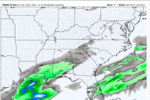
Don't have ptype products, but here's the AI run up closeAre there any freezing rain or P-type products for the AIFS? As I'm trying to deciper the 12z run, it looks like 1 full inch of QPF for TLH with the temps in the upper 20s for the entire event but 850s way above freezing so ... all ZR ... can someone verify?
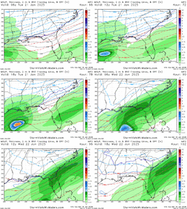
beanskip
Member
Thanks -- looks like that affirms what I thought I was seeing (but hoped I wasn't!)
NBAcentel
Member
I think another underrated option, is somehow we weaken the northern stream trough overhead in the OH valley and go back to a WAA regime overrunning setup even with a more strung out southern wave. Kinda why the AI looked better
NBAcentel
Member
rburrel2
Member
18z rgem looks a little north with precip to me... not bad at all.
rgem looks roughly the same. It was a touch closer to hitting that ULL
rburrel2
Member
Yea actually the 18z Rgem is the tiniest bit better with respect to pulling in more of the southern energy... we're still in this.
NBAcentel
Member
Seems like the rgem has heigher heights over the EC ahead of the bowl shaped N/S which doesn’t hurt
rburrel2
Member
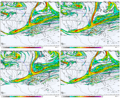
We're gonna have to warm up the entire east coast to get precip!RGEM looked worse initially, then tilted later to be better.
View attachment 165199
View attachment 165201
Six Mile Wx
Member
I think we’d be in a much better position if the western ridge wasn’t getting knocked down, tilting way positive, and pulling our wave to the west coast. Then, the trough gets smashed to south before it can get out of there. If the ridge could hold longer before tilting or if our our wave didn’t get pulled that far west then it could move east before getting flattened out. Watch where the energy enters and where it dives south (the further north and therefore east the better). Watch the tilting of the ridge, we need it to hold neutral as long as possible.
What we need, see, is for the SW low to hang back long enough to catch the next big northern stream wave dropping down.Yeah I think we've lost the southwestern wave, all we can hope for now is more digging from the northern wave. Could still work but it's not going to be the way we thought it was (IMO).
rburrel2
Member
It's comforting to see the Euro AI is showing a feather dusting now at least.
Yes, only Dallas Little Rock & Memphis are aloud to get snow in the low 20s and teens.We're gonna have to warm up the entire east coast to get precip!
StormWatch
Member
I wouldn't really worry about the NAM, the forecast period is still beyond 60 hours areas further east. I think it will flip flop until the period is within 60 hours or less, that goes for the other mid/short range models as well. Still, it's likely the system will transform into an overrunning event (frontal), which I'd take overrunning cause of minimal WAA with this scenario.
Sent from my SM-G975U1 using Tapatalk
Sent from my SM-G975U1 using Tapatalk
rburrel2
Member
Just my two cents, but these things have a way of trending the wrong direction for a while and about the time you give up, they trend the right way for a while to the point you think you're getting clobbered... wash, rinse, repeat.
I bet we've weathered the storm and are about to switch over to some positive vibes out West after a mostly awful 06z/12z. Euro holding serve or slightly improving here in a few hours will be critical.
I also think the southern piece has been lost for a while now... we really just need the northern part of the trough to move a few clicks back to the south and west.
Don't include me in this "we". I don't want to sit here and watch the same olds get half a foot then complain 8 days laterWhat we need, see, is for the SW low to hang back long enough to catch the next big northern stream wave dropping down.
WolfpackHomer91
Member
Just my two cents, but these things have a way of trending the wrong direction for a while and about the time you give up, they trend the right way for a while to the point you think you're getting clobbered... wash, rinse, repeat.
I bet we've weathered the storm and are about to switch over to some positive vibes out West after a mostly awful 06z/12z. Euro holding serve or slightly improving here in a few hours will be critical.
Only concerned about the “New” EURO at 00Z… that and 12Z suite all I’d worry about tbh with the ingestion of new data. Idk Matthew East used to say that i believe. That the 06Z/18Z was always wonky good or bad bc it’s recycled Data
Sent from my iPhone using Tapatalk
Things can change, but the problem is, this isn't just a NAM issue. Essentially all of the modeling has been worse today for the most part, save some areas way south which are still doing pretty well in some cases (and good for them)I wouldn't really worry about the NAM, the forecast period is still beyond 60 hours areas further east. I think it will flip flop until the period is within 60 hours or less, that goes for the other mid/short range models as well. Still, it's likely the system will transform into an overrunning event (frontal), which I'd take overrunning cause of minimal WAA with this scenario.
Sent from my SM-G975U1 using Tapatalk
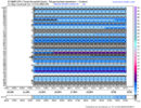
Would you mind showing me Savannah on the latest eps?View attachment 165204View attachment 165205
12z eps for Birmingham and Montgomery. Honestly nice to see just about all members showing snow, rather than 60% hits and 40% misses. Hopefully 00z will be good to us tonight. Just trying to keep some positive vibes going. Expect more changes.
I don't know if others have updated data on this, but this has been debunked for many years. There are different ways outside of radiosondes / balloons that data is injected into the models (satellites, airplane sensors) that there is very little difference between the accuracy of each run when you average them out. At least that's what I have seen.Only concerned about the “New” EURO at 00Z… that and 12Z suite all I’d worry about tbh with the ingestion of new data. Idk Matthew East used to say that i believe. That the 06Z/18Z was always wonky good or bad bc it’s recycled Data
Sent from my iPhone using Tapatalk
Tsappfrog20
Member
18z GFS is coming in less amped out west and much more separation between the SW and the pacific lpView attachment 165208
Good or bad?
Sent from my iPhone using Tapatalk
beanskip
Member
N/S making a late bid to zip on down?
Good or bad?
Better
Sent from my iPhone using Tapatalk
Cad Wedge NC
Member
That looks a lot better
dsaur
Member
Point forecast now up to 60 percent for snow. Thursday no precip. Was slight snow, then slight zr, and now nothing. Considering how cold it's going to be, zr seemed a reach.
rburrel2
Member
much better tilt to the height fields this run at 60hrs. Thanks WAR!
WolfpackHomer91
Member
SUPER EASY to understand for all…. He says what some others have…. Easiest way to get this further NW is to sacrifice the HP to a degree. Like it’s that simple …. Kind of. Also “NW trend is only gospel to STRONG LP’s…. This is around 1015 … that’s not strong enough to wrap up and bend backwards NW that’s why it’s sliding or staying South, SE”
Sent from my iPhone using Tapatalk
Sent from my iPhone using Tapatalk
Yeah, you want a complete no interaction with that cutoff out in the Pacific. Every run that shows more interaction is worse. We also want our wave dropping down a little East, I'd think. Either way, better run at 500mb. Should give some okay precipitation vs 12z.
StormWatch
Member
18z RGEM has a secondary embedded low along the boundary. Moisture develops ahead of the tail end of the boundary. You can see the precipitation filling in across Georgia into the Carolina's Tuesday evening into early Wednesday. Better trends with this feature on future runs perhaps.

Sent from my SM-G975U1 using Tapatalk

Sent from my SM-G975U1 using Tapatalk
BKWRN29
Member
Learning here… What exactly makes this better? is it better in terms of more precip and a wider storm?Better so far!
View attachment 165210

