L
Logan Is An Idiot 01
Guest
We can work with this. Honestly it's the best it's looked. I like the trends so far todayThe GFS was still too warm for most of the system until it moved off the coast.
View attachment 32246
We can work with this. Honestly it's the best it's looked. I like the trends so far todayThe GFS was still too warm for most of the system until it moved off the coast.
View attachment 32246
If only it had enough time to go negative right there..oh well, I can confidently say that Vort progression will not occur that way again lolGfs might go bonkers. Lmao.
View attachment 32248
I think getting heavier rates is ultimately going to be the deciding factor. This reminds me a bit of March 2017. I remember then seeing temperatures in the lower 50s the day before and not believing there was anyway the models I was looking at were correct that we’re giving me 1-3 inches. That system came in late at night/very early morning and what started as a 39 degree drizzle changed very quickly to a 32-33 heavy wet snow that put down close to 3 inches in MBY. It can only be good that models are right now trying to bring this in at the coldest time of the dayView attachment 32247
sounding isn’t bad if we can get some heavier rates overhead.
Can't do that after one model run man.Overall didn’t like what I saw with 0z. Time is ticking and cmc went from light snow accumulations to none for Thursday here. Maybe it will come back north. Need king euro to save us or I’m ready to throw in the towel for Thursday system.

I've noticed the NAM tends to over amp at first with precipitation then gets drier as the event gets closer anybody else noticed this?
I've noticed it too but I saw someone yesterday say that these systems tend to overperform more than not so maybe its right.I've noticed the NAM tends to over amp at first with precipitation then gets drier as the event gets closer anybody else noticed this?
I forgot about the upgrade. I hope it helps. I'd love to have the total Namm'ed snow it's showed me in the last ten years lol Thanks WebbThis longstanding tendency isn't necessarily true in the more recent "upgraded" versions of the model.
Do you think this has some similarities to the March 2017 event??

Dumping fatty flakes at Wolf Ridge Ski Resort in NC. You can view at resortcams.com.

Is this better? 12z nam
View attachment 32274
The top of Grandfather looks amazing right now..check that cam outIf you want to still live in the south and enjoy Snow. Heres the place to be, atleast this morning it is.

Beech Mountain Resort Summit Cam - Resort Cams
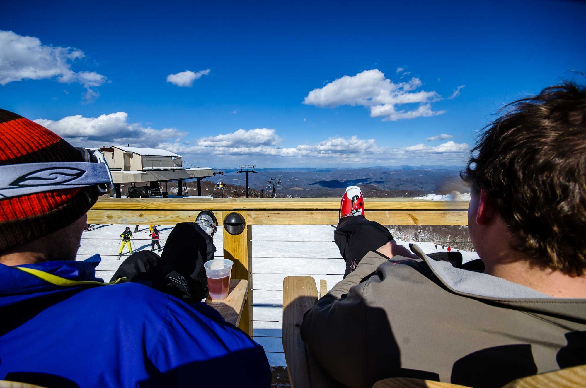
Located at an elevation of 5,506 feet on the deck of the Skybar, this Beech Mountain webcam gives a great view of the ski resort and surrounding mountains.www.resortcams.com
Do you think this has some similarities to the March 2017 event??


