Pouring the snow in Boone:
 www.resortcams.com
King Street Boone NC Webcam - Resort Cams
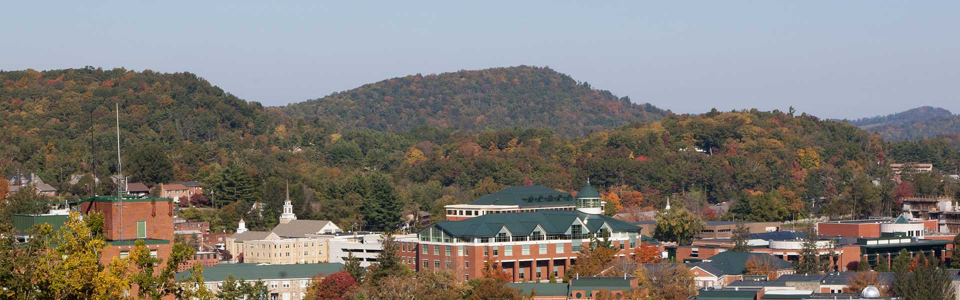
Located in the heart of downtown Boone, NC, the King Street cam gives a live, streaming view of current happenings and events taking place in the most popular town in the High Country.
www.resortcams.com


")
