-
Hello, please take a minute to check out our awesome content, contributed by the wonderful members of our community. We hope you'll add your own thoughts and opinions by making a free account!
You are using an out of date browser. It may not display this or other websites correctly.
You should upgrade or use an alternative browser.
You should upgrade or use an alternative browser.
Wintry Jan 2-4 2022 Winter Weather Event/Obs
- Thread starter SD
- Start date
NCHighCountryWX
Member
- Joined
- Dec 28, 2016
- Messages
- 699
- Reaction score
- 1,918
Cad Wedge NC
Member
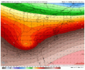
Big changes in Michigan. Perhaps more Midwest confluence is responsible for the slight tick south.
What about the Atlanta airport?
NBAcentel
Member
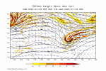
ULL looks more SW on the NAM, similar to the HRRR
NBAcentel
Member
I would take my token flakes and be happy...good luck to everyone else!!!
Why does that never happen near Charleston?
NoSnowATL
Member
Just OTP.
packfan98
Moderator
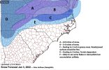
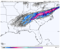
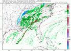
Looks to help Alabama and hurt western TN so farHmm, more south this run, wonder how that changes things upView attachment 101044
Ron Burgundy
Member
Dang. Better than I’d have expected.
Me too! I think it will overdo itself...wish casting alittle but been down this road with these ULL!Dang. Better than I’d have expected.
NBAcentel
Member
L
Logan Is An Idiot 02
Guest
It may not look like much. But if these tiny shifts south can happen throughout the day it will put a lot more people in NC in the game for some snow
Sent from my iPhone using Tapatalk
Sent from my iPhone using Tapatalk
NBAcentel
Member
lol what if that Convective line ----- up and robs moisture transport north
packfan98
Moderator
Definitely a flatter run which results in a further south footprint of snow. Let's see what the 3k says in a minute.


Showmeyourtds
Member
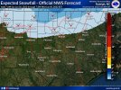
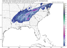
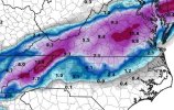
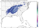
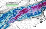
Are these TT clown maps still garbage or have they improved?View attachment 101047Massive run
ARCC will like this one.
LukeBarrette
im north of 90% of people on here so yeah
Meteorology Student
Member
2024 Supporter
2017-2023 Supporter
Don’t put this bad juju on the northern folks ?lol what if that Convective line ----- up and robs moisture transport north
NBAcentel
Member
LickWx
Member
So should I go to Virginia tomorrow or not ? Roxboro? It’s only 50 minutes away.
NoSnowATL
Member
Still garbage but better garbage.Are these TT clown maps still garbage or have they improved?
With the trends, I can blue crossing over I 85 in AtlantaDefinitely a flatter run which results in a further south footprint of snow. Let's see what the 3k says in a minute.

packfan98
Moderator
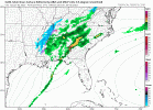
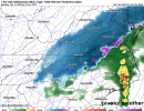
3k looks similar to 12k. That 50-100 mile shift south put the I-85 corridor back in play and put DC on the northern fringe. We know who usually wins that battle though.
NCHighCountryWX
Member
- Joined
- Dec 28, 2016
- Messages
- 699
- Reaction score
- 1,918
NBAcentel
Member
Be still my beating heart….View attachment 101047Massive run
ARCC will like this one.
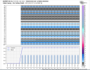
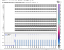
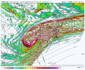
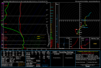
Looks very similar down my way as well… good for ripping some fatties for a little whileDefinitely seen worse soundings then this, lots of omega in the DGZ as well View attachment 101055View attachment 101056
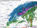
That's a heavy band coming along the I65 I20/59 corridor I expect BMX to pull the trigger before sunset if the trend stays the sameView attachment 101061View attachment 1010623k what a beaut
WXinCanton
Member
12z NAM.


NBAcentel
Member
Starting to notice the HRRR slighty slow/strengthen the northern stream energy/confluence around the Great Lakes
Let me tell y’all a couple things I learned about the HRRR and the NAMS the last few days.......... they suck!

