Flotown
Member
meaning what for us more west??My guess is that first one is gonna trend very close but no cigar to y’all in NC. That NE low is gonna trend slower and westward with time. Gonna be another heartbreaker most likely.
meaning what for us more west??My guess is that first one is gonna trend very close but no cigar to y’all in NC. That NE low is gonna trend slower and westward with time. Gonna be another heartbreaker most likely.
meaning what for us more west??
gotchaProbably nothing but rain. The hope here would be the NE low would slow down and inject colder air into the pattern for those along the coast. However while it trends slow/west like clockwork it also stops trending right on the cusp of actually creating winter weather for the area above.
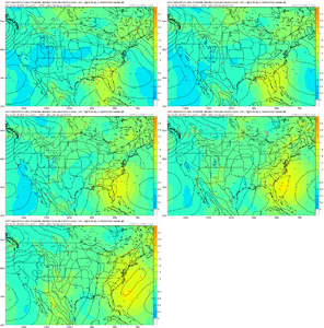
A lot closer than I thought it would be given the location of the lowYep. That’s painfully closeView attachment 139097View attachment 139098View attachment 139099View attachment 139100
Trend the system stronger and you can get some nice dynamic coolingA lot closer than I thought it would be given the location of the low

Really getting pumped for January. Glad to see at least the chances showing up in the long range. Better than nothing and means there is at least potential in the future.View attachment 139101
After the Jan 2 chance…
Jan 5-6 seems like another likely system. Would love some tracking for both!!
Thats what you gotta root for. I said last night, its a long shot,but only one we got with this one.Trend the system stronger and you can get some nice dynamic cooling
If there is a New Year's ULL, this time it might stay north enough for you to get in it, lol. See karma pays back in time....maybeVerbatim, not bad for this part of GA and WNC.
Was just looking at this. Thought for sure it looked like a heavy hitter over my area. Instead it’s 2 inches lol
Been a while since we have had multiple storms over a short period. Lately it's been either nothing or one decent to big storm during winter.
2 inches is a heavy hitter in your area. You better take anything you can get this year snow wise. Will take it anyway we can get it outside the mountains. The white stuff is hard to come by these days anymore it seems. I think you will get in on the action to this winter. Good luck down your way.Was just looking at this. Thought for sure it looked like a heavy hitter over my area. Instead it’s 2 inches lol
That stark GA cutoff line would be brutal if this run verified.
Nw trend by game time.insanely closeView attachment 139115
Incoming Chattanooga Special / Surprise??? Lots of moisture in the air...View attachment 139117Update from Fox 6 here in Birmingham this morning
You really need help from the Gulf & more cold air when it comes to Chattanooga. Areas between the Cumberland plateau & mountains of TN/NC (Valley) get the shaft often when it comes to these kind of events. Certainly not saying flakes won't fly, but i do think the those other areas are favored.Incoming Chattanooga Special / Surprise??? Lots of moisture in the air...
Euro gonna be really close here View attachment 139109
That don't work. We had thunder a week or so ago and yet to see Snow... So we have to try something elseWhat’s the old saying about snow a week after
️?
What’s the old saying about snow a week after
️?
? ??What’s the old saying about snow a week after
️?
Give me trailing southern stream wave behind a departing cold vortex/50-50 low look for 500 please View attachment 139128View attachment 139130View attachment 139131View attachment 139132

