RDPS Colder than Nam sounding. Warm nose much shallower by good 1500 ft

It’s actually worse. I’m really at or below freezing 6-9 hours with 1.25” of liquid precip falling. Again even cutting that off by 75% is pretty significant at this range for this modelICON has me at 6 hours at or below freezing with close to an inch of precip falling. Even cutting that back 60-75% is pretty moderate to significant icing potential on a model that does tend to have a warm bias and isn’t the best CAD depiction either
| February 16, 2015 | 1 inch of sleet 1/10th inch of ice | min temp of 27 | huge bust in our favor, hi-res models at 31/32 temp and projecting freezing rain to rain as event started, got 90% sleet and just a little freezing rain, wetbulbed to around 27 and temp was still 31 as final band came through |

Noticed the same. The axis has changed a lot with these runs tonight. Still on the edge here but good changes so far.View attachment 139829
All of the sudden it’s flatter and more snowier, hmmmm

Need the trend of it flatter and more south to continue as well as less ridging out ahead. So far that’s been the case on tonight’s runs. You’re also seeing our LP bending around the CAD done vs plowing right through it as the surface low takes over from the ULL the the NW. if we can push it a little further south you’ll see a translation to more ice my way and more snow your way.View attachment 139829
All of the sudden it’s flatter and more snowier, hmmmm
nobody ever mentions this storm but this is one of my fav of all time. raleigh was also supposed to get murdered by ZR but it was almost all sleet instead- to the tune of like 3 inches! pretty sure we bottomed out at 19 with it just pouring sleet. my buddies and i were drinking beer under the trailwood overpass on i40 at like 2 am that night and stealing road signs... fond memories of this storm.Here's my notes from that storm just to remind everyone that we can get lucky every once in a while!
February 16, 2015 1 inch of sleet 1/10th inch of ice min temp of 27 huge bust in our favor, hi-res models at 31/32 temp and projecting freezing rain to rain as event started, got 90% sleet and just a little freezing rain, wetbulbed to around 27 and temp was still 31 as final band came through


i feel that if this thing goes even flatter you lose a lot more forcing and qpf. somewhat agree with your second point, the surface reflection may disproportionately shift south against shifts at h5, but don't know if the in-situ cad we're getting is going to cut the mustard to effect LP track that muchNeed the trend of it flatter and more south to continue as well as less ridging out ahead. So far that’s been the case on tonight’s runs. You’re also seeing our LP bending around the CAD done vs plowing right through it as the surface low takes over from the ULL the the NW. if we can push it a little further south you’ll see a translation to more ice my way and more snow your way.


This system is making a comeback holy sh….


If things keep trending the way the are, I imagine our area sees a couple hours of ZR in the morning while the foothills and NW Piedmont might see an all day event. This is honestly kind of scary, though we have a couple saving graces with the lack of snow cover and the fact that rates will get pretty heavy at some point.Charlotte is a degree or 2 away on globals from ZR, and northern tiers of CLT are right on the line. All it takes is some last minute adjustments

I thought this time frame was expected to be warmer? ? Also, the models seem to be a few degrees warmer than what verifies, not sure if thats a short range deal or not. Looking at the recent outputs it seems that way though.
Dang. EPS too.

Hate seeing the SE ridge. Have nightmares about that. I was concerned about the verification of the MJO impulse from the GEFS recently. It seems to be doing pretty well.Dang. EPS too.
Go figure, the GEFS looks like it was right all along.
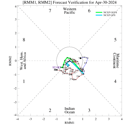
We need that TPV to set up shop south of Hudson Bay under the NAO block. If so, it should mute if not overwhelm the MJO if the unfavorable phases don't venture too far outside of the COD for too long before propagating back into 7-8-1. Fingers crossed.Hate seeing the SE ridge. Have nightmares about that. I was concerned about the verification of the MJO impulse from the GEFS recently. It seems to be doing pretty well.
Yeah typical Nino pattern according to @Webberweather53 . Maybe we should listen to him.Wasn’t the assumed progression in this pattern all along a trough in the west before moving east late month?
")
Speak of the devil. Something just like this will do.We need that TPV to set up shop south of Hudson Bay under the NAO block. If so, it should mute if not overwhelm the MJO if the unfavorable phases don't venture too far outside of the COD for too long before propagating back into 7-8-1. Fingers crossed.

Probably a little after that hopefully. The EPS looks like it wants to dump west even at the end but that may be more split flow lowering heights out west. The ridge over Alaska and Greenland with the TPV over the Hudson Bay doesn't scream west coast dump to me. But I guess it's still possible. We always seem to find new ways to screw up so idkSpeak of the devil. Something just like this will do.


