MichaelJ
Member
You have no idea how right you may actually turn out to be.I think i can make a really safe prediction. Come March the pattern will finally change just in time for lots of cold rain and drizzle thru early May.
You have no idea how right you may actually turn out to be.I think i can make a really safe prediction. Come March the pattern will finally change just in time for lots of cold rain and drizzle thru early May.
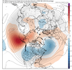
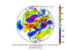
2014 evolutionGeez the 0z means retrograde the pac ridge so far we are getting close to a 2014 party. Thanks to @Myfrotho704_ for the analog

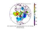
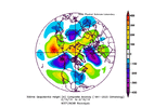
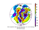
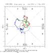
Where did you get the 2014 mjo plot I looked for 30 minutes this morning and couldn't find it.Getting a more poleward N Pac ridge is critical for this very reason (not just for cold in the short term). Without a poleward NP ridge, the ridge doesn’t retrograde as quickly (or much at all) into Siberia because the Pacific Jet can’t undercut it & allow the ridge to break over the top + get replaced by Aleutian trough underneath to pump the +PNA
The other big, really key difference between this year and 2014 was the appearance of West Pac MJO in mid Feb. That further allowed the Pacific jet to undercut the already poleward-displaced blocking ridge & more easily generate an Aleutian Low.
A Feb 2014-style scenario isn’t totally crazy to me. However….
It really feels like this year is going to be at least a week or so behind that kind of scenario (maybe more?), w/ a more prolonged period of warmth in the front half of the month. :/
The good news is this canonical SE ridge pattern probably won’t last forever in the cold season, because the wavelengths start to collapse later in Feb into Mar (extratropics respond differently to the same forcing at different times of the year). I think we see some sort of legit +EAMT &/or Pacific jet extension around Feb 20 give or take, which eventually eats away at the canonical Feb Nina SE ridge pattern
View attachment 130377
Where did you get the 2014 mjo plot I looked for 30 minutes this morning and couldn't find it.
This is great for building snow pack up north for more CAD cold air potential
This is great for building snow pack up north for more CAD cold air potential
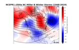
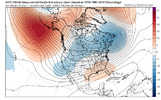
It's going to rain this weekend. Cold rain.I'd personally just like to get out of this wave timing cycle we are in. If it's going to be 70 in January that's fine but give it to me on Friday Saturday Sunday not Tuesday Wednesday Thursday with the weekend being around 50 with NW winds of 100
I'd personally just like to get out of this wave timing cycle we are in. If it's going to be 70 in January that's fine but give it to me on Friday Saturday Sunday not Tuesday Wednesday Thursday with the weekend being around 50 with NW winds of 100
I would argue it’s very close. Only difference is the northern piece of energy holds into some strength and takes primary .. GFS likes to do this sometimes but it is another scenario that’s possible. If the southern takes over though it’s close12z GFS not even close on the 22 storm even in the mountains or Va. Way to warm. sigh
I would much rather have ICON then GFS in the boat. I know that’s wild to say but…I would argue it’s very close. Only difference is the northern piece of energy holds into some strength and takes primary .. GFS likes to do this sometimes but it is another scenario that’s possible. If the southern takes over though it’s close


Gets swallowed by energy coming out of the PAC NWAnd she cuts from New Orleans up to Louisville

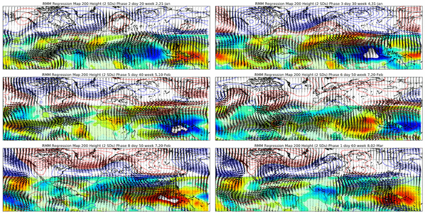
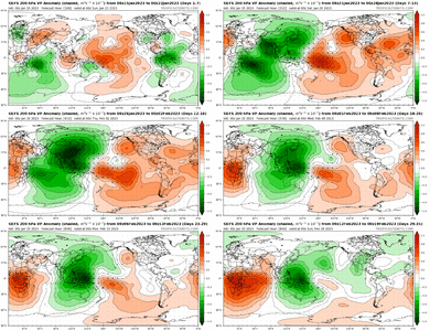
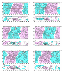
Fwiw, this my general sentiment on January (as things currently stand)
-The first week or so is very likely going to be warm & fairly wet/stormy. Need to be on the lookout for severe weather across the lower MS Valley & Gulf coast especially.
Once we get to/past Jan 10th ish, we should see more of a canonical El Nino/+PNA pattern return. We'll probably progressively step down from this super mild pattern to a seasonable one, that eventually becomes rather cool again as we move into mid-late January.
Imho, after this potential chance ~Dec 26-27th or so, our next best window is probably somewhere in/around the 3rd week of January (~ Jan 14-25 ish). There may very well be a storm or two that shows up between now & then, but the air masses earlier on in January are more liable to be stale, more temperate continental polar ones, capable of delivering snow primarily to climo favored areas of the Appalachian mountains, etc.
I also tentatively suspect we may see the -EPO also make a return sometime late in January and eventually evolve into a more classic -EPO/-PNA/SE ridge La Nina pattern in February (typical evolution for a winter like this).


Cmc 240 bout as bad or worse than gfs around 200 hours out lol12z cmc is set up nicely at 240hrs too, and somewhat similar look to the gfs. 10-15 day timeframe definitely has potential to produce.
Cmc 240 bout as bad or worse than gfs around 200 hours out lol
