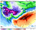
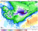
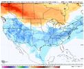
Saw some trees inside Raleigh blooming . Thought it was only a UHI thing till I saw a tree in Zebulon blooming. Bradfords in Raleigh are bud heavy too.KATL is currently sitting at +11.3F above the new January average thus far with the GFS forecasting below. This has essentially been March for all intense and purpose. Calculating these forecasted, temperatures KATL would be just a shade under +10 for the month, making a solid run at first, if not the second warmest January on record. Also, no lows at or below freezing, I'm sure that would be a first. At least we're getting plenty of rain.
View attachment 130031
KATL is currently sitting at +11.3F above the new January average thus far with the GFS forecasting below. This has essentially been March for all intense and purpose. Calculating these forecasted, temperatures KATL would be just a shade under +10 for the month, making a solid run at first, if not the second warmest January on record. Also, no lows at or below freezing, I'm sure that would be a first. At least we're getting plenty of rain.
View attachment 130031
Love that streamer right over my house. Maybe with a more NNW fetch Lookout Mtn will leave us a few flakes.
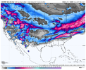
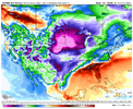
and that’s exactly what I was thinking…. major ice/sleet across the south and into the Mid-Atlantic while Florida was baking in record heatA little 1994ish
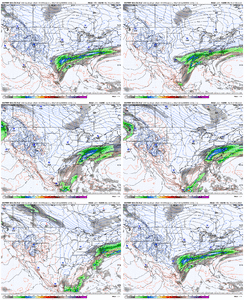
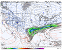
In the end it's probably rain for must of us but we are really lowering heights in the east and shifting the sfc low track SE. We'd need help from the D7 system to really go bonkers or something currently not modeled to sneak through in the fast northern stream type flow to establish marginal enough cold but it's worth keeping an eye onHard to tell if that is good trend or not really. Also offshore west coast storm looks better?
I'm in a bad geographic spot for NW flow snow showers. Regardless, I'm sitting here wondering if should I have coffee or beer while sitting out on the front porch tomorrow late.
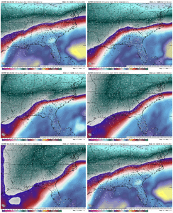
Not saying that this is a repeat, but this set up reminds me very much of this little system from February 2009. Models were picking up on the dynamics, but not the precip output until about 6 hours or so out. This basically fell from about 9pm to 3am overnight and surface temperatures were in the mid to upper 40s as precip started and just crashed to around freezing very quickly.00z HRRR continues to try and develop stuff over central and eastern NC .. it’s been developing some sort of banding feature over us and don’t really know what’s causing it? Any thoughts from some degreed mets? View attachment 130043
see those returns here in nw bama but history tells me that it will all be in northeast bama ,we barely ever get much out of this unless this setup is a little different00z HRRR continues to try and develop stuff over central and eastern NC .. it’s been developing some sort of banding feature over us and don’t really know what’s causing it? Any thoughts from some degreed mets? View attachment 130043