• Hello, please take a minute to check out our awesome content, contributed by the wonderful members of our community. We hope you'll add your own thoughts and opinions by making a free account!

Pattern Jammin January 2023

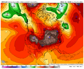
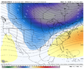
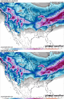
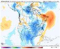
Long range on the EPS does not look good, imo. The ridge is too far west, with a positive tilt that tucks the cold nicely in the west where it always wants to be. Atlantic ridge is large and in charge keeping the cold away.

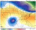
Jet is starting to retract west of HI, like @griteater warned. Starting to think tropical forcing smacks us again. I'm pretty weary of a pattern change right now. ?

1673544905687.png
1673544943574.png
 
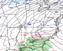
Definitely know better than to take stock in the LR model outputs, but the end of the 12z GFS actually looks good to me. You would think there would be a lot of undercutting of the cold coming down from the NW. This is where a battle between the SER and very cold air could make for some interesting times.

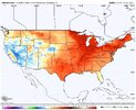
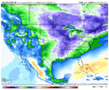
Dew points on day 16:
1673545195400.png
 
Long range on the EPS does not look good, imo. The ridge is too far west, with a positive tilt that tucks the cold nicely in the west where it always wants to be. Atlantic ridge is large and in charge keeping the cold away.

Jet is starting to retract west of HI, like @griteater warned. Starting to think tropical forcing smacks us again. I'm pretty weary of a pattern change right now.

View attachment 129963
View attachment 129964

Not until Nina loosens it’s grip in March or April. The only thing worse than a warm winter is a cold spring.


Sent from my iPhone using Tapatalk
 
Chance for some major league totals along border counties..newfound gap sweet spot. 441 will be shut down for quite a while. I’ve always wanted to ride one of these out up topA4D1E6AE-623B-4EBE-ADA8-0686FD454D12.jpeg
 
Bullseye only 48hrs out! :D Not sure if serious. It jumps around every run with these handful of flakes.
 
Yes but IS this where we are gonna land?
In some form yes, there are a number of possibilities on the table here. Like i said before I'd like this pattern a lot more if I was in MS, AL, LA, TN, VA where they can benefit from a displaced western ridge and slight SER response. For us in the Carolinas we need some suppression help whether it's from the pac ridge being east of models, a -nao, or pulling a cold vortex southeast and parking it north of the Great lakes. The op gfs was about the check the last 2 boxes to an extent.
 
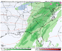
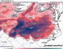
12z Euro - Only 10 days out!!! Mountain special..... We got time to work on temps east of the mountains.
prateptype_cat_ecmwf-imp.conus.png
 
Back
Top