1058 high into Montana. 192-hour? JMA, it's a lock!


That means snow next week right ?I just had thunder and lightning
if you can dream about it lolThat means snow next week right ?
Thank goodness we have ensemblesLol canonical Nina pac jet from around the world with a 90 degree left bender
View attachment 130987

Lol. Had thunder and lightning several times this winter and last winter. Haven't seen a flake or sleet pellet yet this year.That means snow next week right ?
We like the pink blob nearby. Gives us a chance to catch the weather goddess with her pants down and luck into something

 GEFS extended had it’s best mean snowfall map in almost a month.


The west coast looks good. Not to mention ridging over the top.

View attachment 131001
I mean that’s not bad at all, certainly time to work towards this sort of solution

Looking over the various models, it's quite apparent that even models are more volatile beyond days 5-6 than usual. Flip-flopping is the name of the game even on the large-scale features.View attachment 131001
I mean that’s not bad at all, certainly time to work towards this sort of solution

Definitely could go either way, maybe we get luckyGFS should go big overrunning event.. that evolution just screams overrunning. Somehow managed a western ridge? Kicked things out real quick and we got a slam dunk pattern. Just skeptical that look holds though.. CMC was full on trough in the west which dumped energy out there and let the SER breath and was about to give us 70s


Not until one lines up over Brownsville and blast the entire SE board first. Hometown weenies rule.So when are the 2 Ls supposed to combine and give interior NE a big snow? Noth8ng impressive seems to be happening up that way atp??

 ️
️

 www.resortcams.com


At least there is some noise. We have seen patterns so bad that there is not even a prayer in fantasy landLooks like a bunch of noise beyond day 10.

It’s nice to know the snow is never too far away. Radar looks good upstream. They’ll prob go for 4+. What i’d give to be drinking a coffee at the lodge right now. Next time.Jimmy's Playground is getting dumped on this morning:
Beech Mountain Resort Summit Cam - Resort Cams
Located at an elevation of 5,506 feet on the deck of the Skybar, this Beech Mountain webcam gives a great view of the ski resort and surrounding mountains.

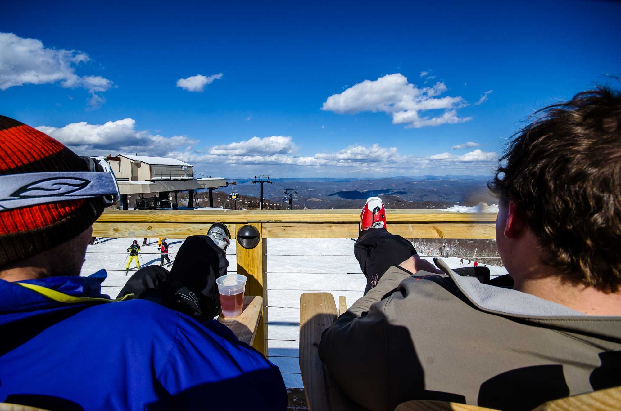
One of my favorites of all time also. That's me just to the left of the arrow in the white circle. Time for another one.
Looks like a bunch of noise beyond day 10.


