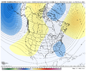
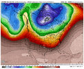
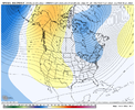
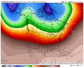
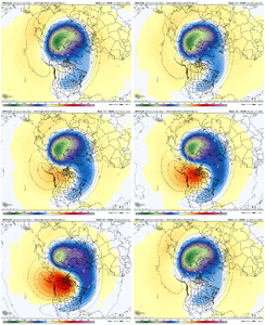
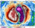
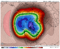
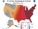
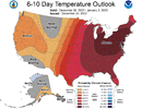
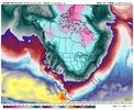
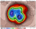
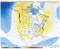
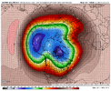
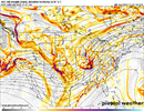
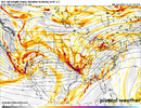
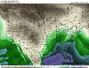
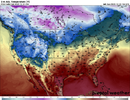
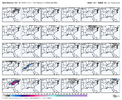
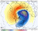
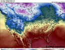
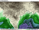
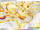
Good read ajr. Looks like PV gets wound up and hits its peak mid to late this upcoming week,then the tearing dow,disruption process begins in earnest by Jan 1. Of course we have a lag time for sensible wx while this unfolds. We want a complete tear down,disruption of pv, not a transitional hiccup. Most are wagering is a complete tear down,but jury is out and we will know with more certainty in about a week. Eitheur way would match up to a Jan 9th time frane to flip, give or take a day or 2.
Grit,Web and Fro will be able to disect this Im sure. Grit laid out 3 possible outcomes yesterday. Hopefully we can get a good second half of Jan window of opportunity to score.

