• Hello, please take a minute to check out our awesome content, contributed by the wonderful members of our community. We hope you'll add your own thoughts and opinions by making a free account!

Pattern Jammin January 2023

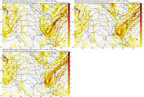
Nerd question. Usually when we see a MillerB don’t we have ridging coming up and in off the Atlantic causing a transfer over the apps and off the coast? We’ve got ridging nudging in north to south here with a wave undercutting. Seems atypical to me.View attachment 129399
Yeah typically we do, and that’s what encourages the transfer/cut, but this time we have way more upstream ridging/lower heights over the Atlantic, which encourages more of a hybrid look
 
Nerd question. Usually when we see a MillerB don’t we have ridging coming up and in off the Atlantic causing a transfer over the apps and off the coast? We’ve got ridging nudging in north to south here with a wave undercutting. Seems atypical to me.View attachment 129399
Id like to think the progressive nature of the pattern is basically forcing this energy off the coast and forcing that transfer to happen not in a typical miller B fashion but the end product remains the same. Not all storms happen the same way it’s more of a blueprint. We will see how we do with this
 
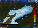
ecmwf-ensemble-avg-se-total_snow_10to1-3848800.pngecmwf-deterministic-se-instant_ptype-3611200.pngecmwf-deterministic-se-instant_ptype-3632800.png
I mean the idea remains the same from the 12z to 00z Euro. Solid support from the EPS. The CMC had the same general look just lost a real lack of cold air push.

Meanwhile the GFS is lost. Which is nothing new. Or who knows, it could be on to something.
 
Still quite a bit of spread wrt the exact low position, but the general track following the mean def looks workable to me. Really need that confluence from a decent high to the north in tandem with the 50/50 low as mentioned before while avoiding suppression at the same time. Alot to iron out here the next several days, hopefully this storm produces.
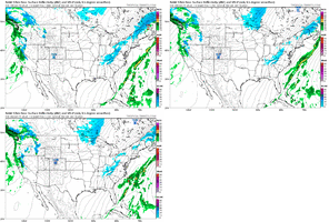
2250a86c191fb75042ab1dfaa363c0aa.gif


Sent from my SM-A136U1 using Tapatalk
 
Lol going to either suppress it into the midlands or shear it to cirrus at this rate
Key here also is building heights behind the system (Rockies ridge spike) which encourages amplification and pure stream separation as well, this trend would increase the chances of what you mentioned but the ridge spike behind the S/S wave determines how amped up/south we get it.
 
Key here also is building heights behind the system (Rockies ridge spike) which encourages amplification and pure stream separation as well, this trend would increase the chances of what you mentioned but the ridge spike behind the S/S wave determines how amped up/south we get it.
Any chance to push the system far enough south that it's a Miller A? Seems like I remember one time in the 20 years I've been following weather models where this happened. It's was definitely during peak climo like this potential.
 
As Fro showed you want a nice 50/50 with the TPV dropping further south towards the US/Canadian border to get the CAA fed into the area. But if you do this we need the ridge to spike in the Rockies to help the wave dig south otherwise you shred it to pieces. Would really likely to see this develop into some type of long tracking ULL that can help generate and pull in its own cold air. Then you have to worry about the track of that to determine the snow/ice line, but we are threading the needle here anyways and that looks like the "easiest" path to success IMO.
 
Back
Top