• Hello, please take a minute to check out our awesome content, contributed by the wonderful members of our community. We hope you'll add your own thoughts and opinions by making a free account!

Pattern Jammin January 2023

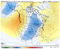
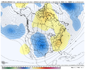
Something to keep in mind during this timeframe that temp have been average if best. There's a lot that can go wrong here.


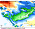
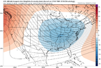
gem_T850a_us_39.png
 
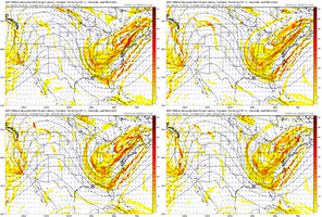
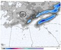
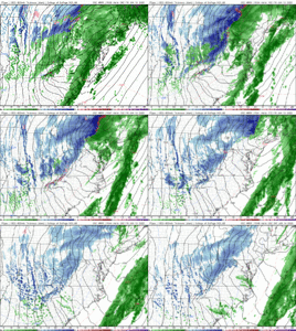
ICON looks to be setting up a major ice storm/wedge event at 174hrs. Key here is the 50/50 block is strong and in good position. If the 50/50 plays out that way I don't see how CAD area's miss this storm due to warmth... i'd be more worried about suppression. Also important that our storm doesn't have a northern stream wave attached to it mucking up the confluence over the great lakes/new england. GFS has been doing this each run. Screen Shot 2023-01-05 at 10.49.43 AM.png
 
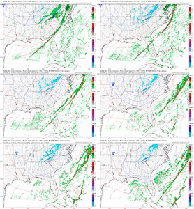
icon_mslp_wind_us_58.png

Yeah this likely would lead to some type of storm in the CAD areas of NC/SC/VA/NEGA.
Not too sure tbh. A high of 1038 strength that far north in a progressive pattern probably doesn’t get things done. Our prime placement for CAD events is a high much further south in PA. This would most likely skirt out and we’re left with a cold rain for most
 
Not too sure tbh. A high of 1038 strength that far north in a progressive pattern probably doesn’t get things done. Our prime placement for CAD events is a high much further south in PA. This would most likely skirt out and we’re left with a cold rain for most
We can score CAD off of low 1030 HP. You put a almost 1040 HP in SE Canada with a deepening 50/50 and that almost certainly would get the job done. Typical location is the NE but everywhere from the NE, MA, and SE Canada will get the job done, especially when you start pushing past 1033-1035mlb
 
We can score CAD off of low 1030 HP. You put an almost 1040 HP in SE Canada with a deepening 50/50 and that almost certainly would get the job done. Typical location is the NE but everywhere from the NE, MA, and SE Canada will get the job done, especially when you start pushing past 1033-1035mlb
Even with the 50/50 the pattern is progressive you would need the storm moving in much quicker to take advantage of the quick hitting cold and dry air. It’s fleeting at the end of the icon similar to the current gfs
 
Even with the 50/50 the pattern is progressive you would need the storm moving in much quicker to take advantage of the quick hitting cold and dry air. It’s fleeting at the end of the icon similar to the current gfs
Difference is it is deepening and in-situ with a border line 1040 HP would work. We rarely get an anchored HP in this day and time anyways. It may not be good enough for eastern NC, but for those of use back west? Yes it would work and would hold enough low level cold air to get something frozen.
 
Not too sure tbh. A high of 1038 strength that far north in a progressive pattern probably doesn’t get things done. Our prime placement for CAD events is a high much further south in PA. This would most likely skirt out and we’re left with a cold rain for most
Ideally I would like to see this all a bit further south. Move that H over to about upstate NY and push that low down to the gulf coast, tracking to Jacksonville. I am worried this setup, as modeled here, is way too marginal for areas East of apps and outside the mtns. This is more typical of what has become the norm; its a chance but needs some work for many of us. I expect a ton of changes over the next week and it may not look anything like this at go time; Time of day will also be key for many.
icon_mslp_wind_us_58.png
 
Difference is it is deepening and in-situ with a border line 1040 HP would work. We rarely get an anchored HP in this day and time anyways. It may not be good enough for eastern NC, but for those of use back west? Yes it would work and would hold enough low level cold air to get something frozen.
Verbatim there’s too much WAA you’ll end up with a 12z gfs solution. Cold rain. But maybe the upper level low can bring some cold air down to surprise us after the initial blow. Still we’re far from the end game here but this has always been a thread the needle type of threat.
 
Verbatim there’s too much WAA you’ll end up with a 12z gfs solution. Cold rain. But maybe the upper level low can bring some cold air down to surprise us after the initial blow. Still we’re far from the end game here but this has always been a thread the needle type of threat.
It's not a thread the needle event... but a surface low tracking through Chicago definitely misses the goal posts.
 
Back
Top