NBAcentel
Member
Big (and positive changes) around Atlantic Canada on the 18z gefs, it’s faster then the EPS but there’s a beefy 50/50 low now 
Decent ridge over the Rockies behind the s/s wave tooBig (and positive changes) around Atlantic Canada on the 18z gefs, it’s faster then the EPS but there’s a beefy 50/50 low now View attachment 129476
It’s not as big as us needing the confluence/50-50, but the more it spikes behind our system, the more digging and better chance of marginal ULL driven snow especially if the ULL track is south of I-20 or so, but we need the confluence and that’s the biggest thing right nowDecent ridge over the Rockies behind the s/s wave too
Sent from my SM-A136U1 using Tapatalk


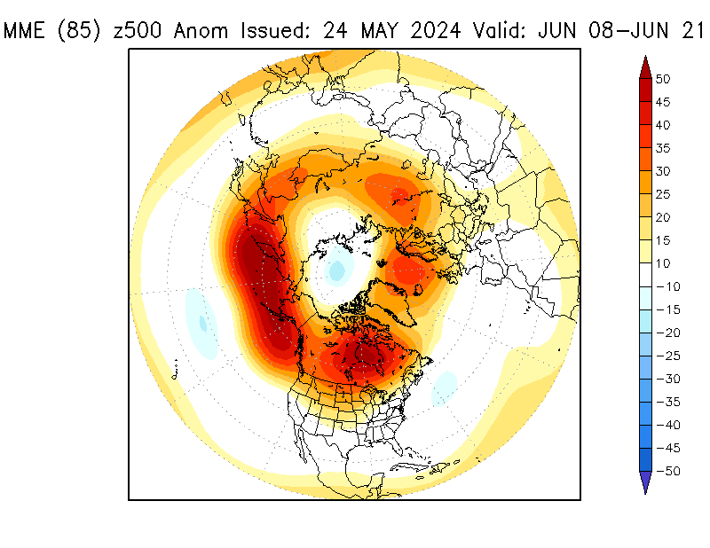
looks solid for the western SE verbatim that lookLatest subseasonal experiment (SubX) week 3-4 forecast. Notice the ridge reappearing north of Hawaii here. That's a red flag that we'll probably see an eventual return of a more canonical La Nina (-PNA) pattern in February.
We may have one more shot or two at scoring a winter storm in the first half of this period though, especially if we can get more ridging over west-northwest Canada to feed cold air into the CONUS. May have to contend w/ the SE ridge more than this coming week, but cold air will be a bit more plentiful on our side of the pond.
Yep he has been saying he is wrong or the models are wrong for the last several days. We shall see who is right the models or the non model hugger. He always is about the pattern.Justin Bieber had a very interesting video this evening about the rest of the winter!
Latest subseasonal experiment (SubX) week 3-4 forecast. Notice the ridge reappearing north of Hawaii here. That's a red flag that we'll probably see an eventual return of a more canonical La Nina (-PNA) pattern in February.
We may have one more shot or two at scoring a winter storm in the first half of this period though, especially if we can get more ridging over west-northwest Canada to feed cold air into the CONUS. May have to contend w/ the SE ridge more than this coming week, but cold air will be a bit more plentiful on our side of the pond.
back tracking?18z EPS just gave me the warning not to stay up tonight lol
come on...let us knowback tracking?

How's this any different from 12Z at the same time?

Much worseHow's this any different from 12Z at the same time?

Looks like very little differences at h5 to meMuch worse View attachment 129487
The main difference between this pattern and the snowstorms of 2018/2004 is that in 2018/2004 the SE Canada vortex looked to be a feature of the long wave pattern, and there wasn’t much room for that to budge. The SE Canada vortex in this pattern looks to be a transient synoptic wave caused by the phasing of two s/w’s.Much worse View attachment 129487


CMC is deathly similar to the euro .. I can’t see precip type plots but it looks warmer generally.. also not really a 50/50 there as well. But a stronger high pressure .. maybe it’s ice that goes to rain. But the track is just like euro


Yep just saw precip plots the similarities to the euro is extreme but the weird thing is there’s no 50/50
That Wake County gradient sure looks familiar.
MOUNTAIN MAULER

The cold will be there when it’s all said and done.Eventually this goes to rain though we don’t have enough cold air in place .. which is a shame because this thing ends up crawling View attachment 129504
Looks very similar to where your model was headed I believe.On the CMC, the low just kinda sits there and dumps loads of snow on NC...


