Webberweather53
Meteorologist
The 6z GEFS was probably an aberration. The 12z suite going to what the EPS & GEPS are showing w/ +PNA
This would be a good circulation pattern if we had the cold air in place already from say a previous arctic outbreak, but we're getting modest continental polar air masses from central Canada, which are already starting out pretty modified by the strong/extended N Pac jet.

This would be a good circulation pattern if we had the cold air in place already from say a previous arctic outbreak, but we're getting modest continental polar air masses from central Canada, which are already starting out pretty modified by the strong/extended N Pac jet.


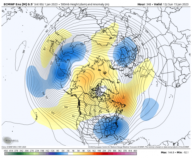


 Now we try and get some over time certainly doable but not being shown right now.


